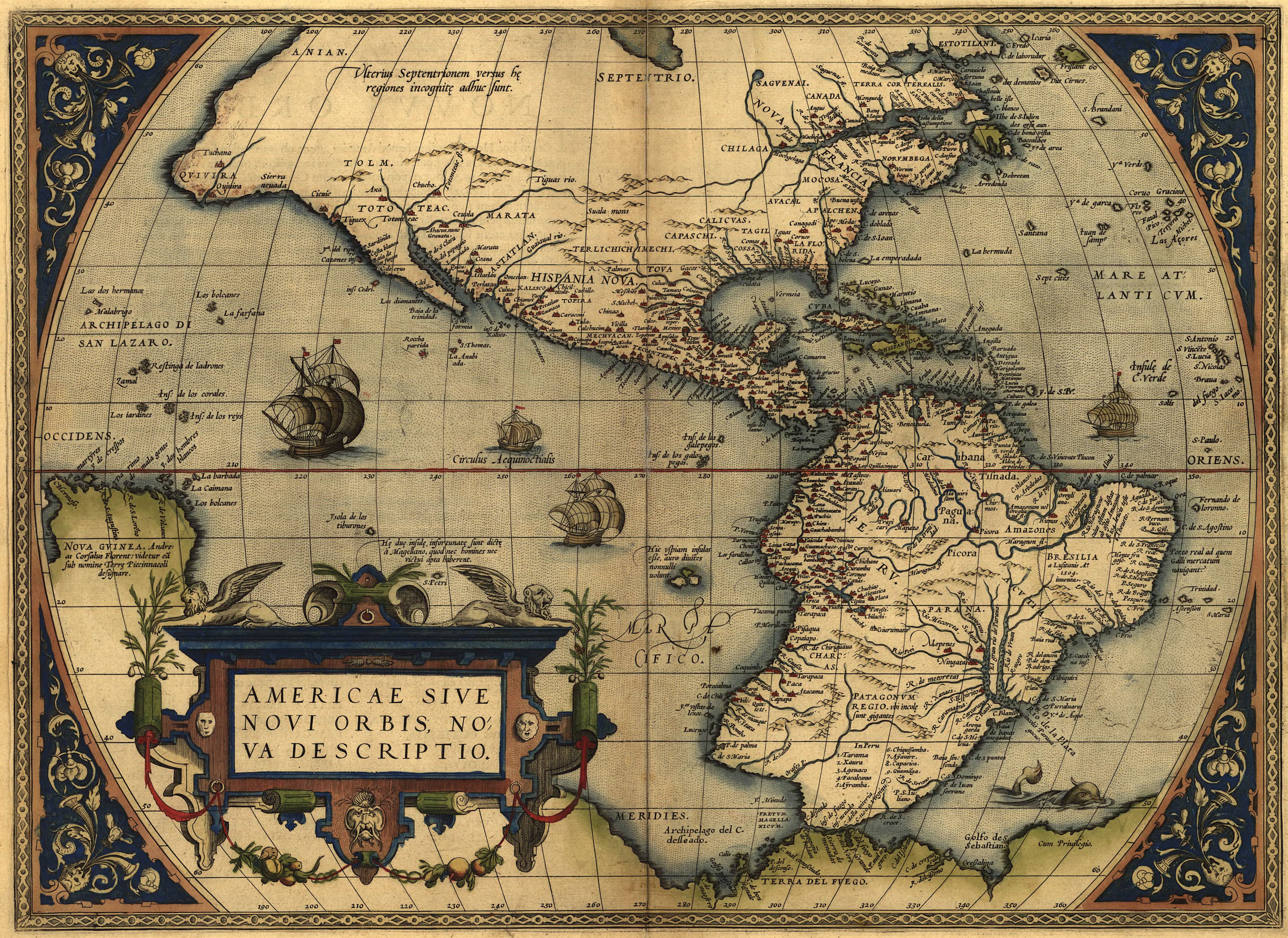
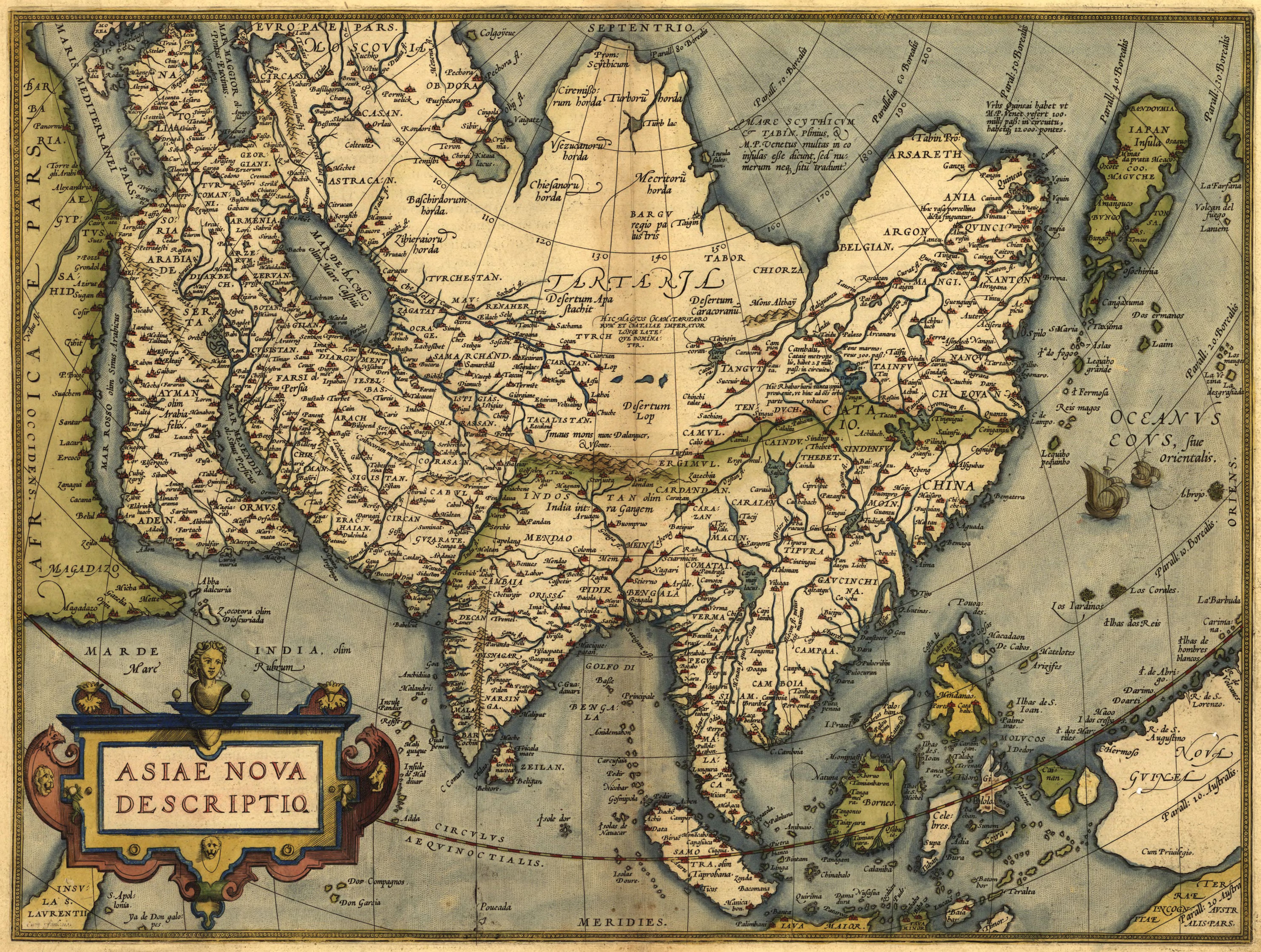
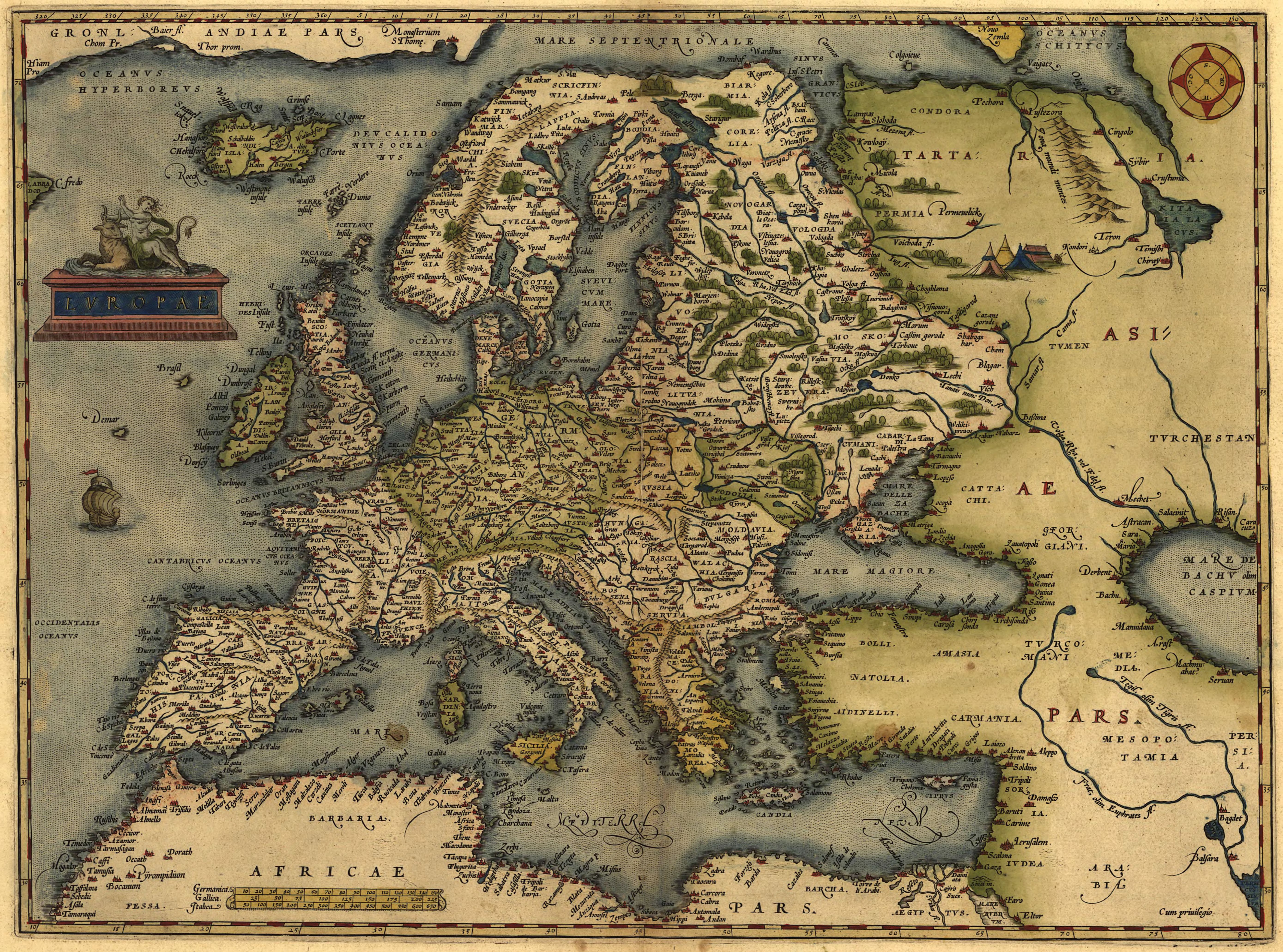
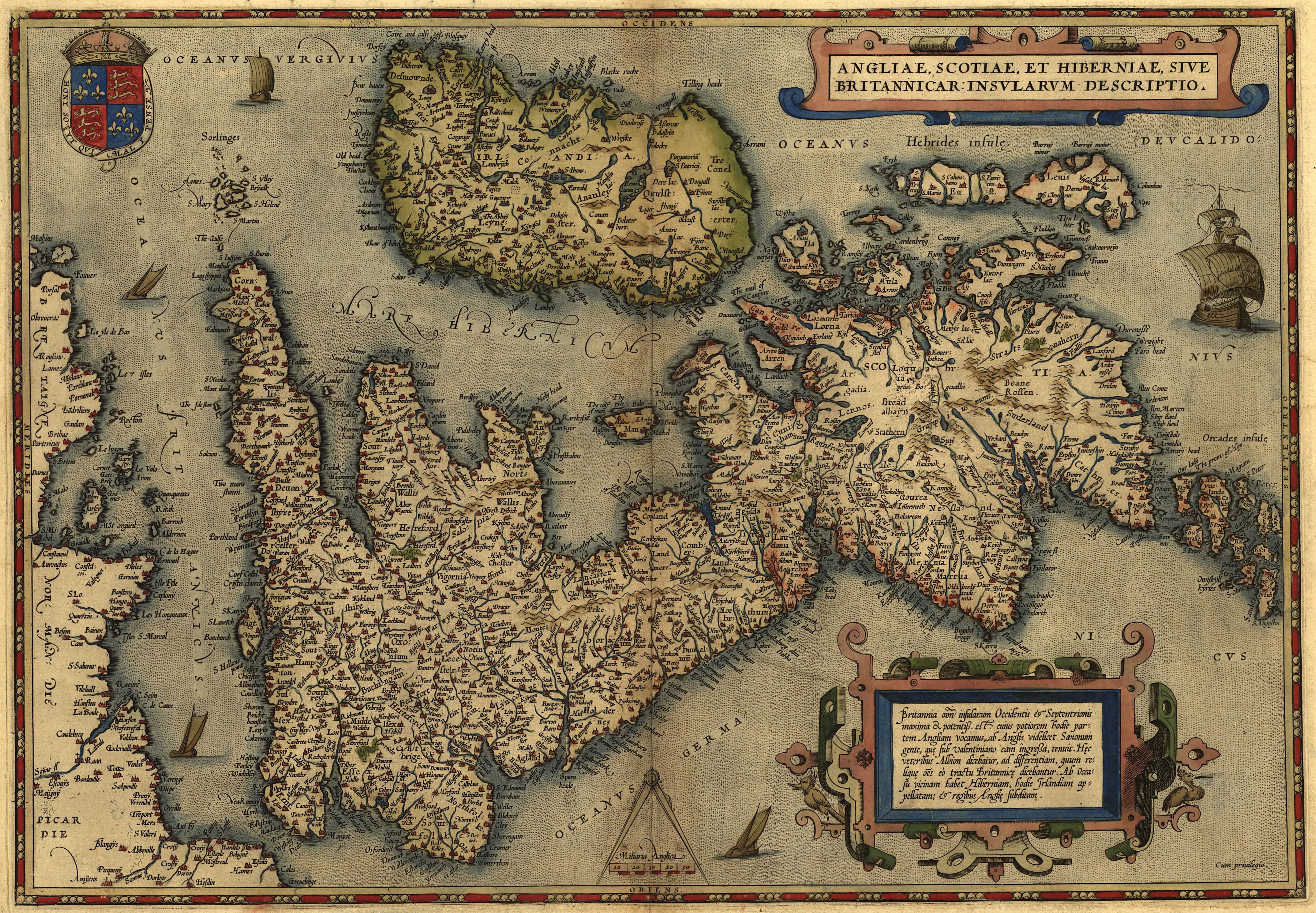
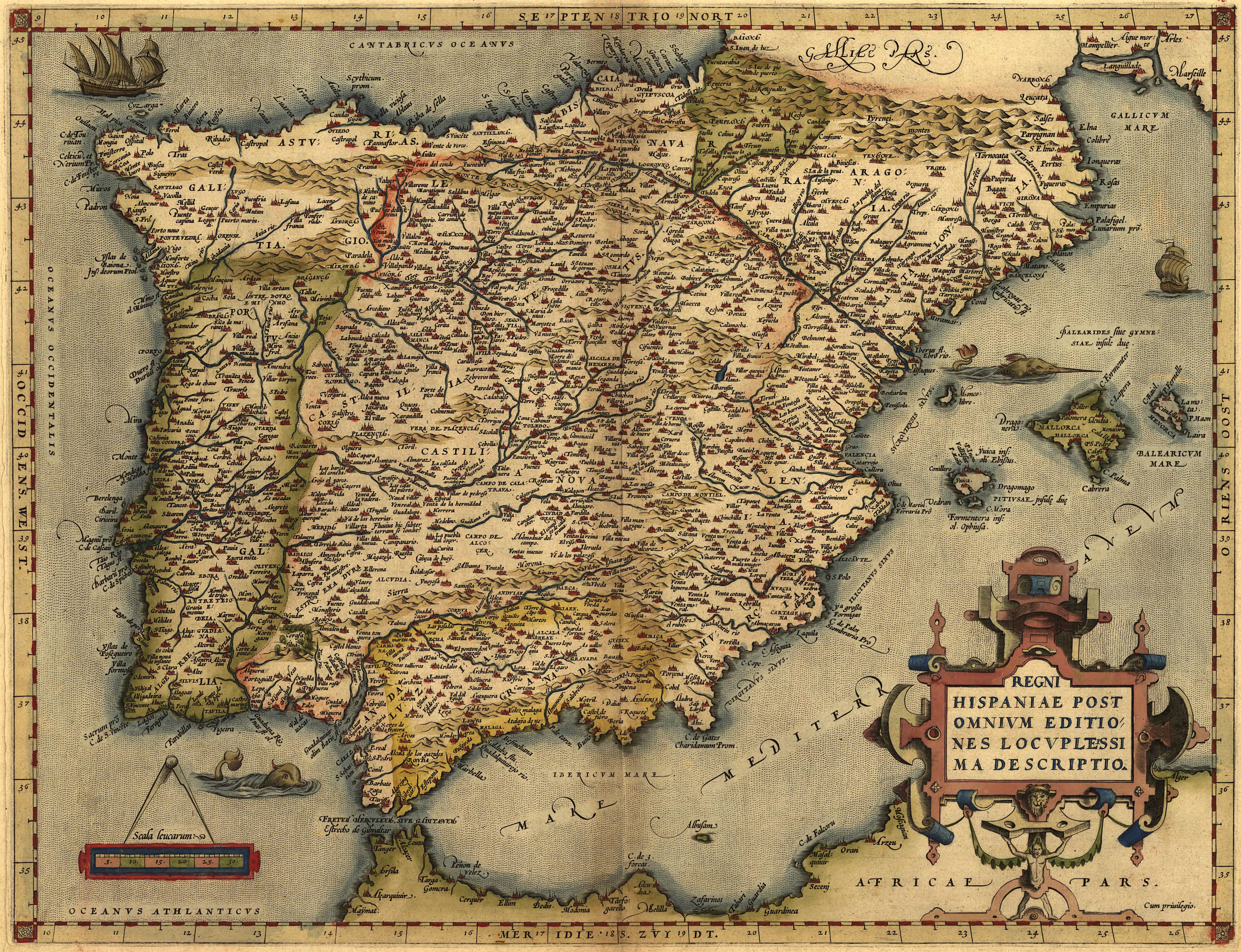
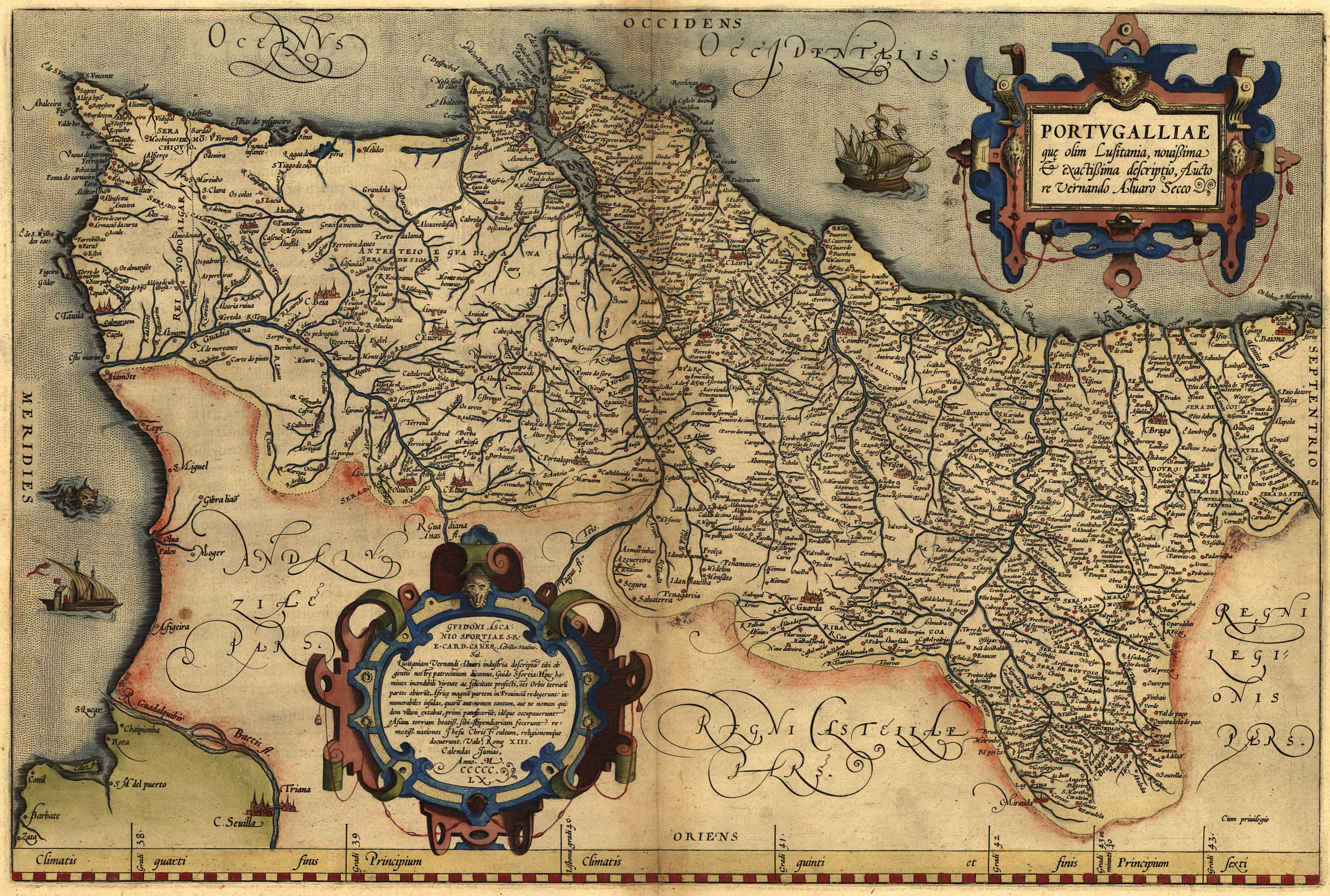
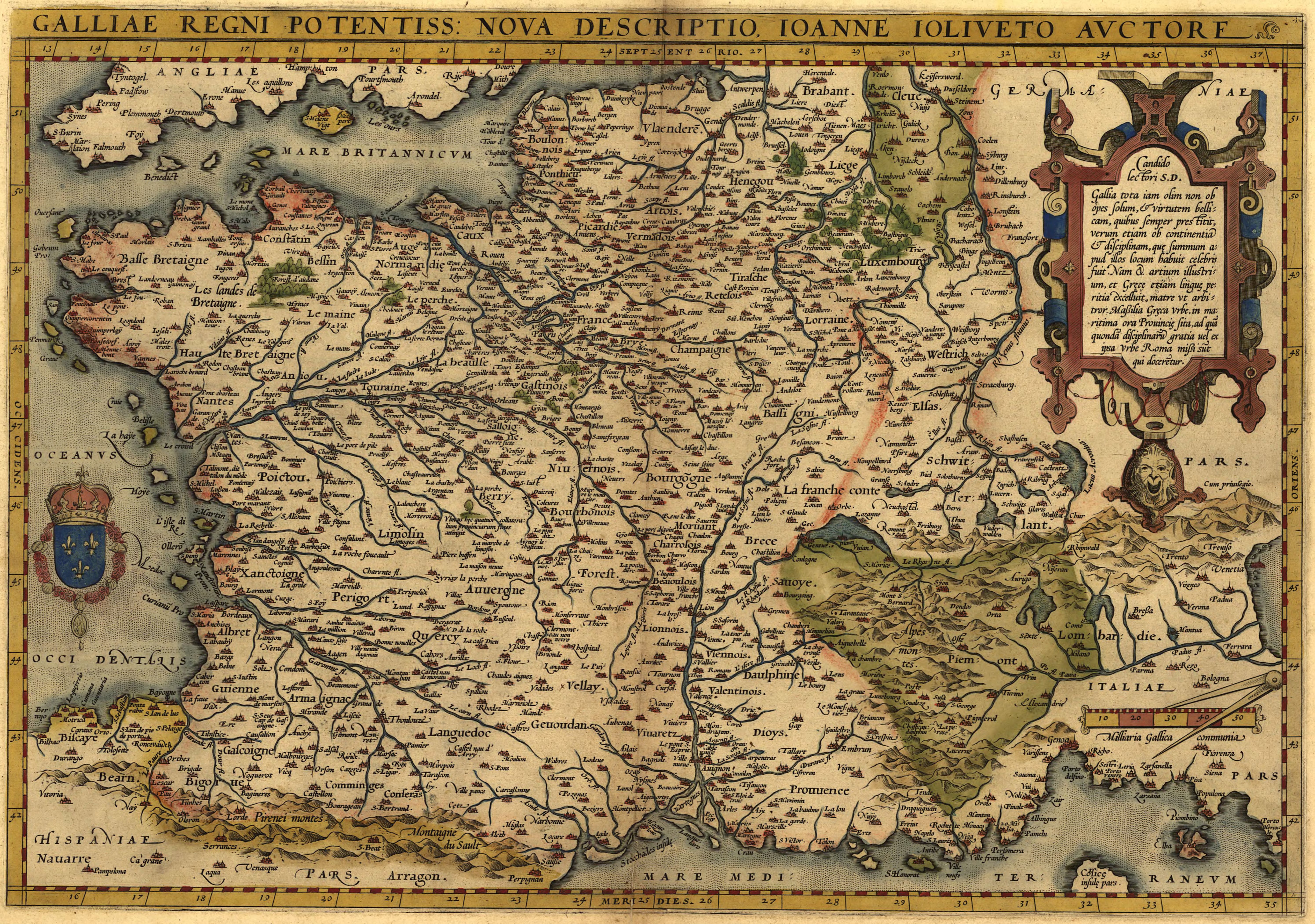
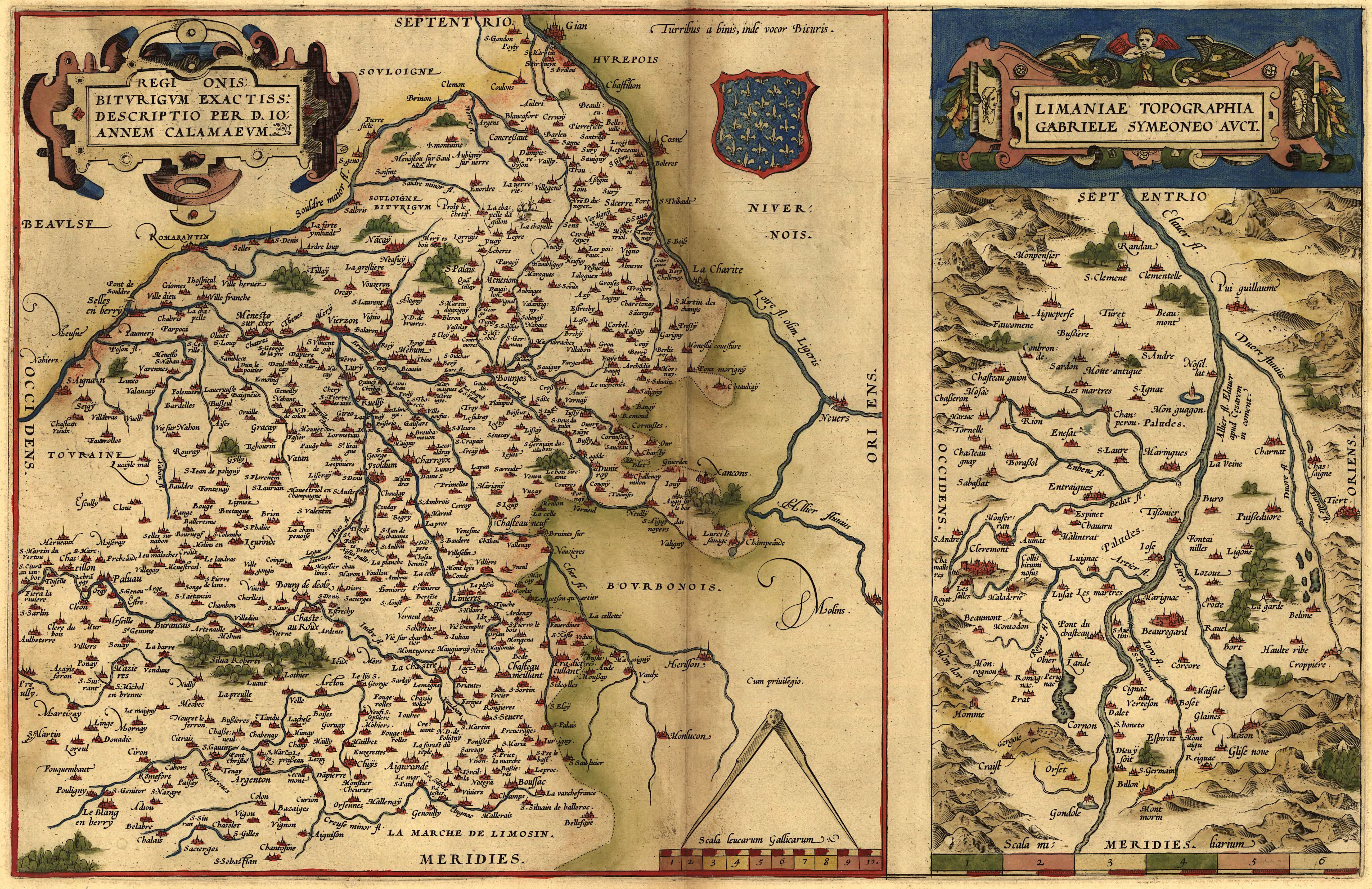
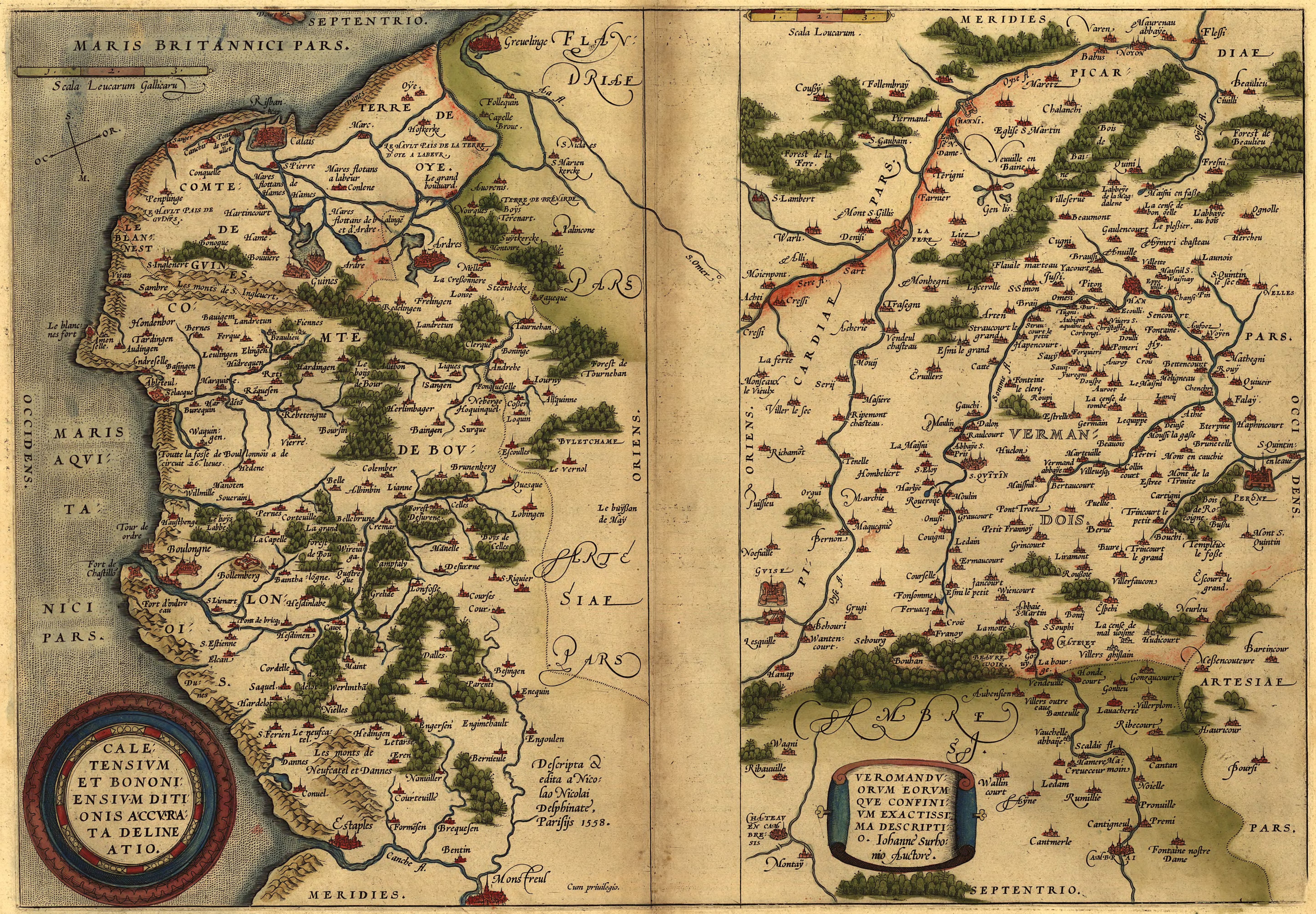
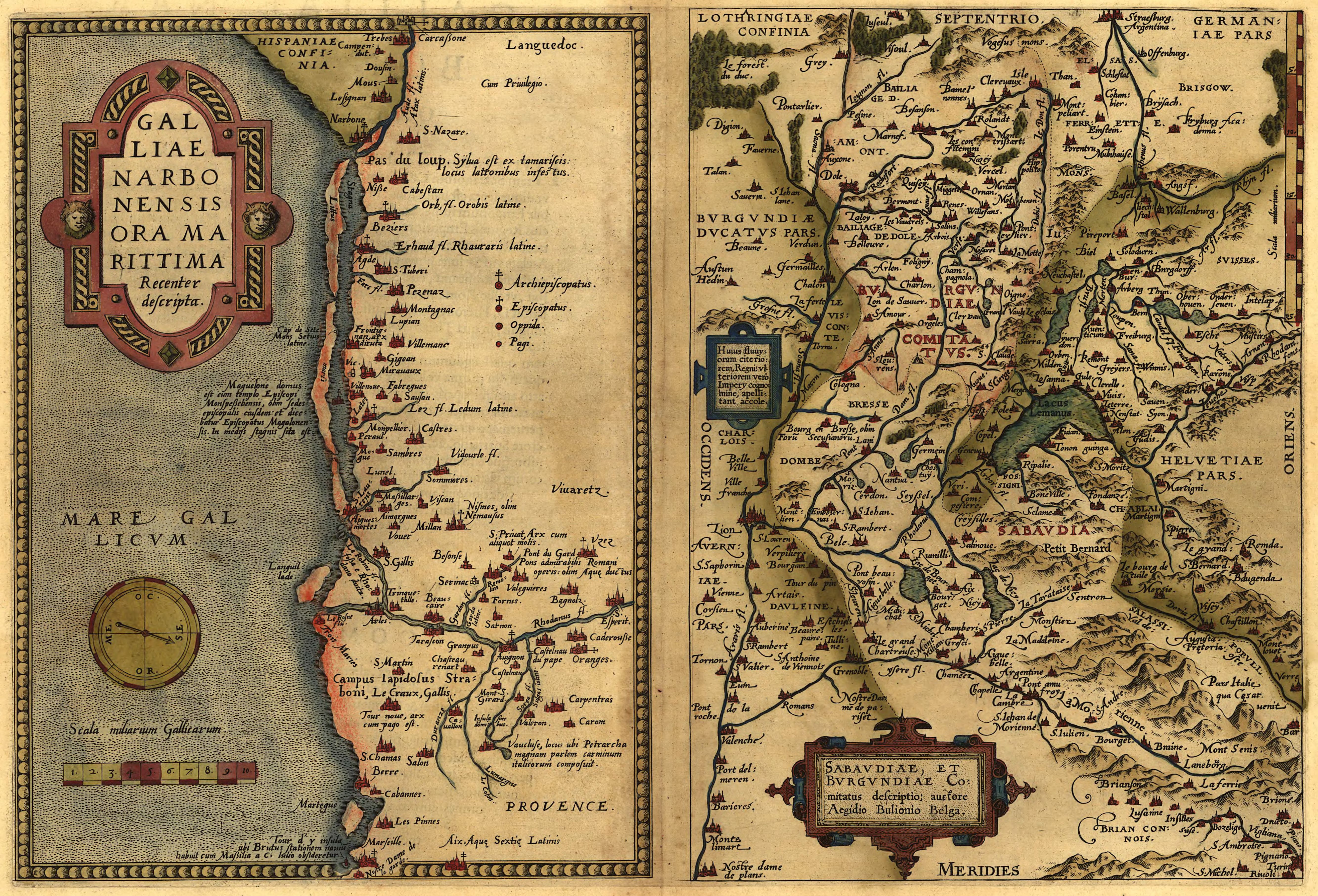
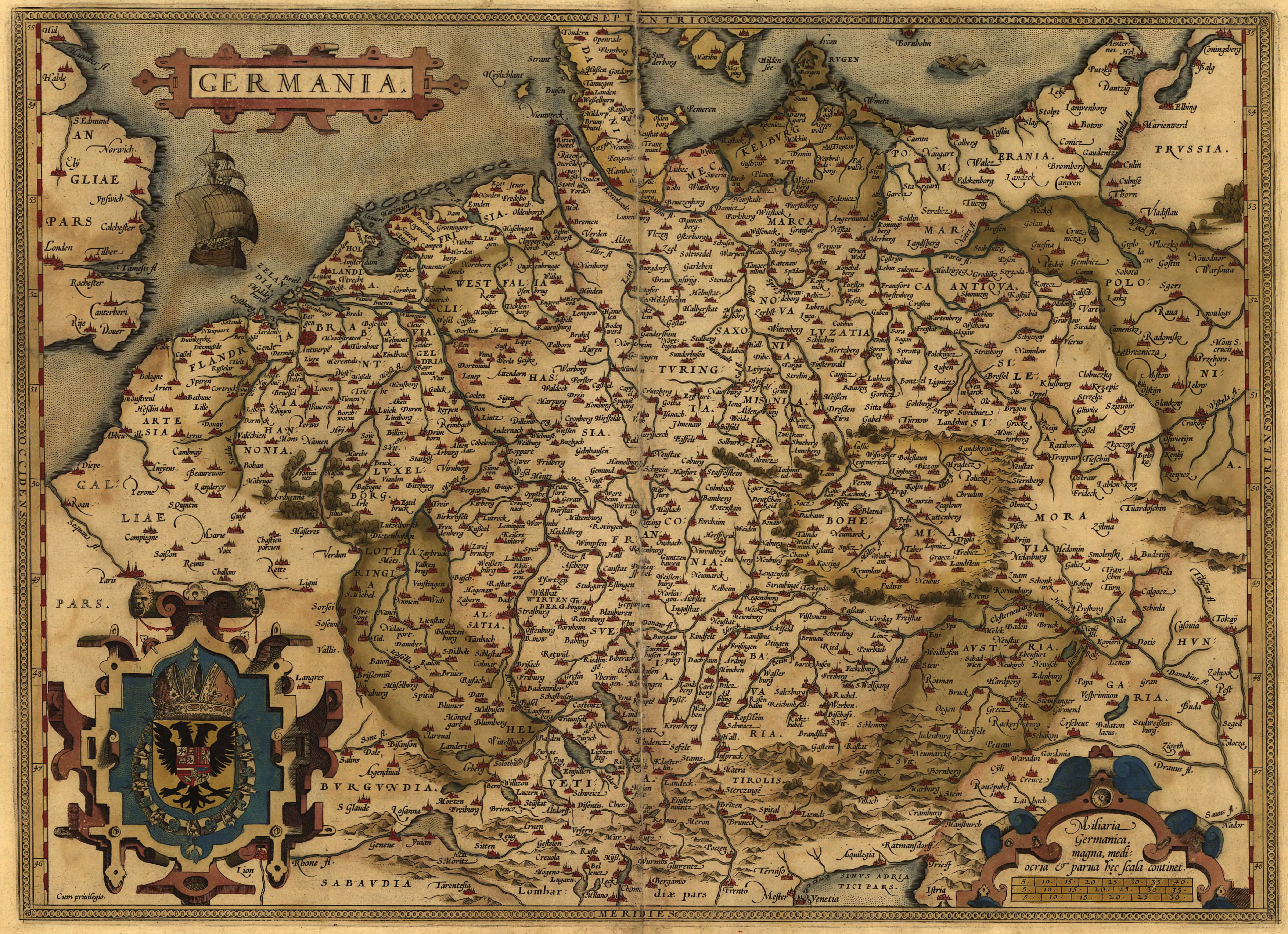
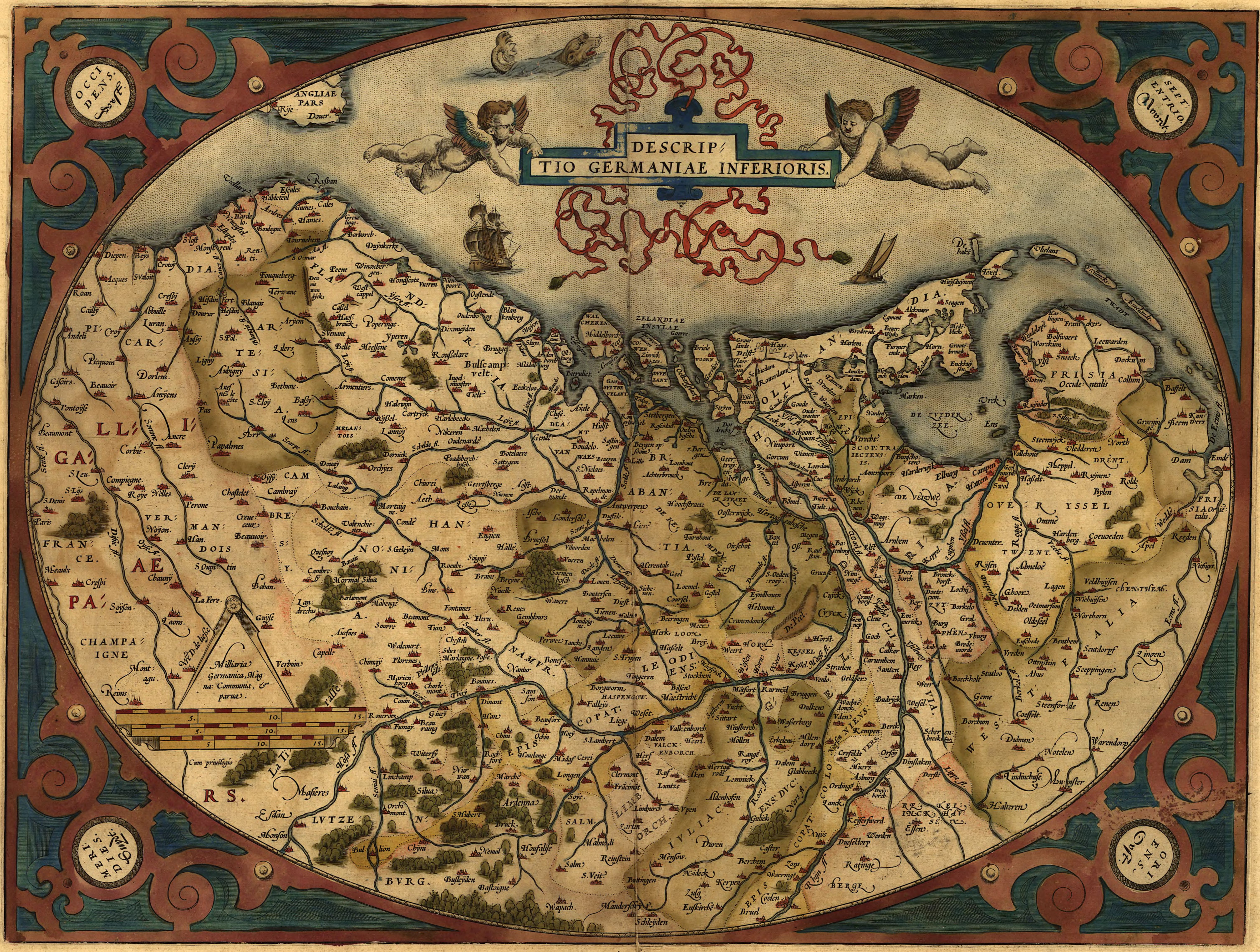
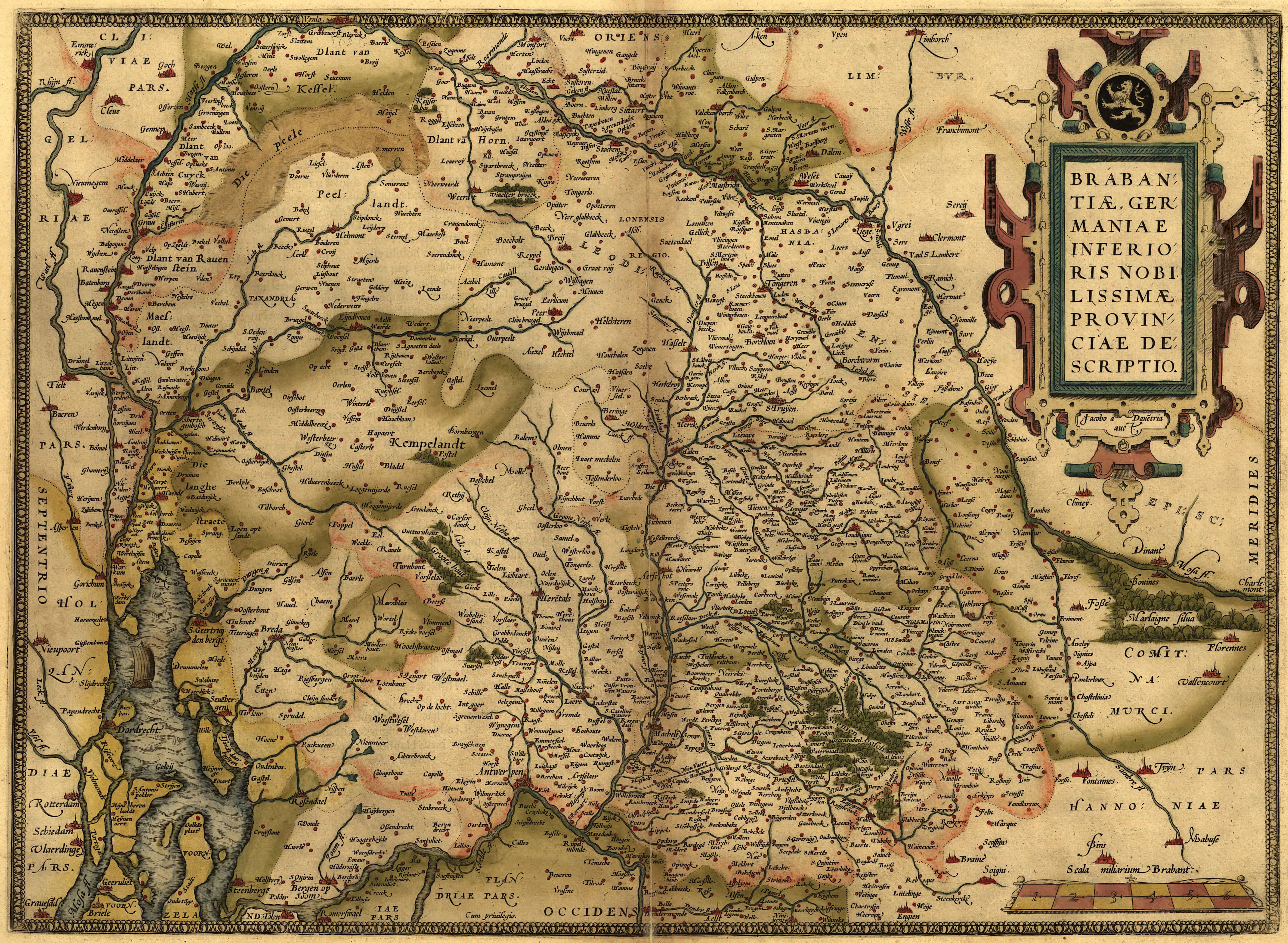
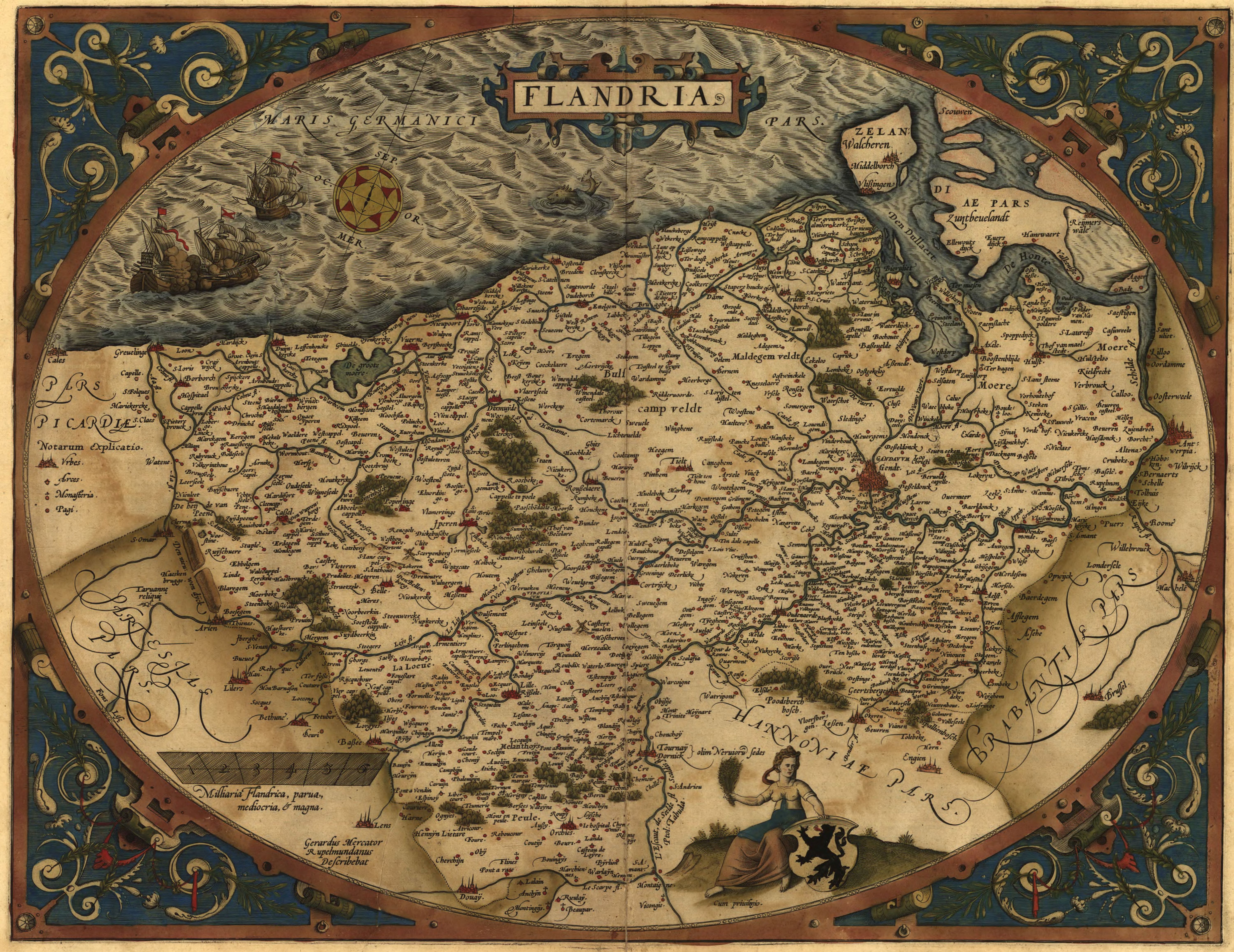
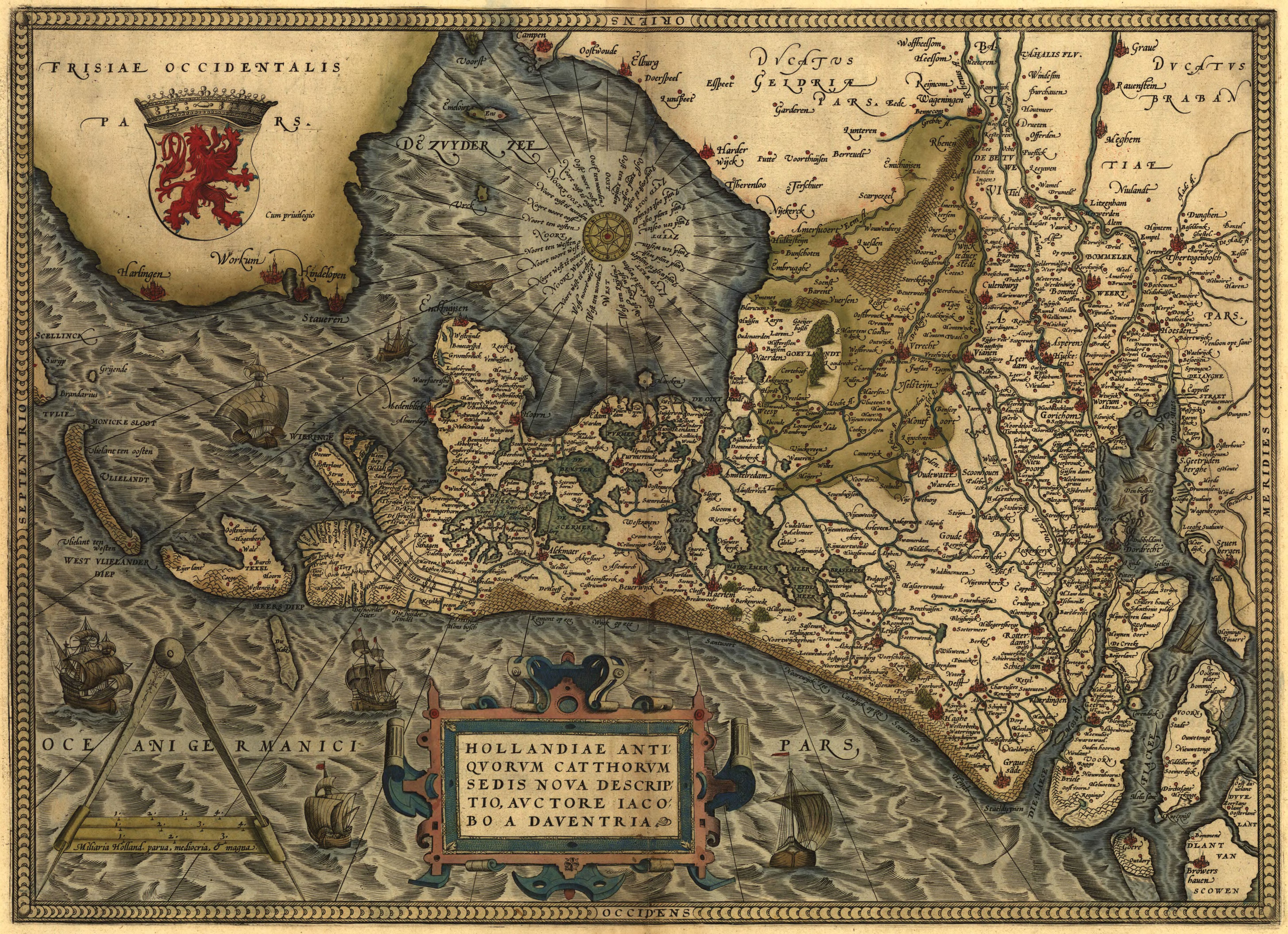
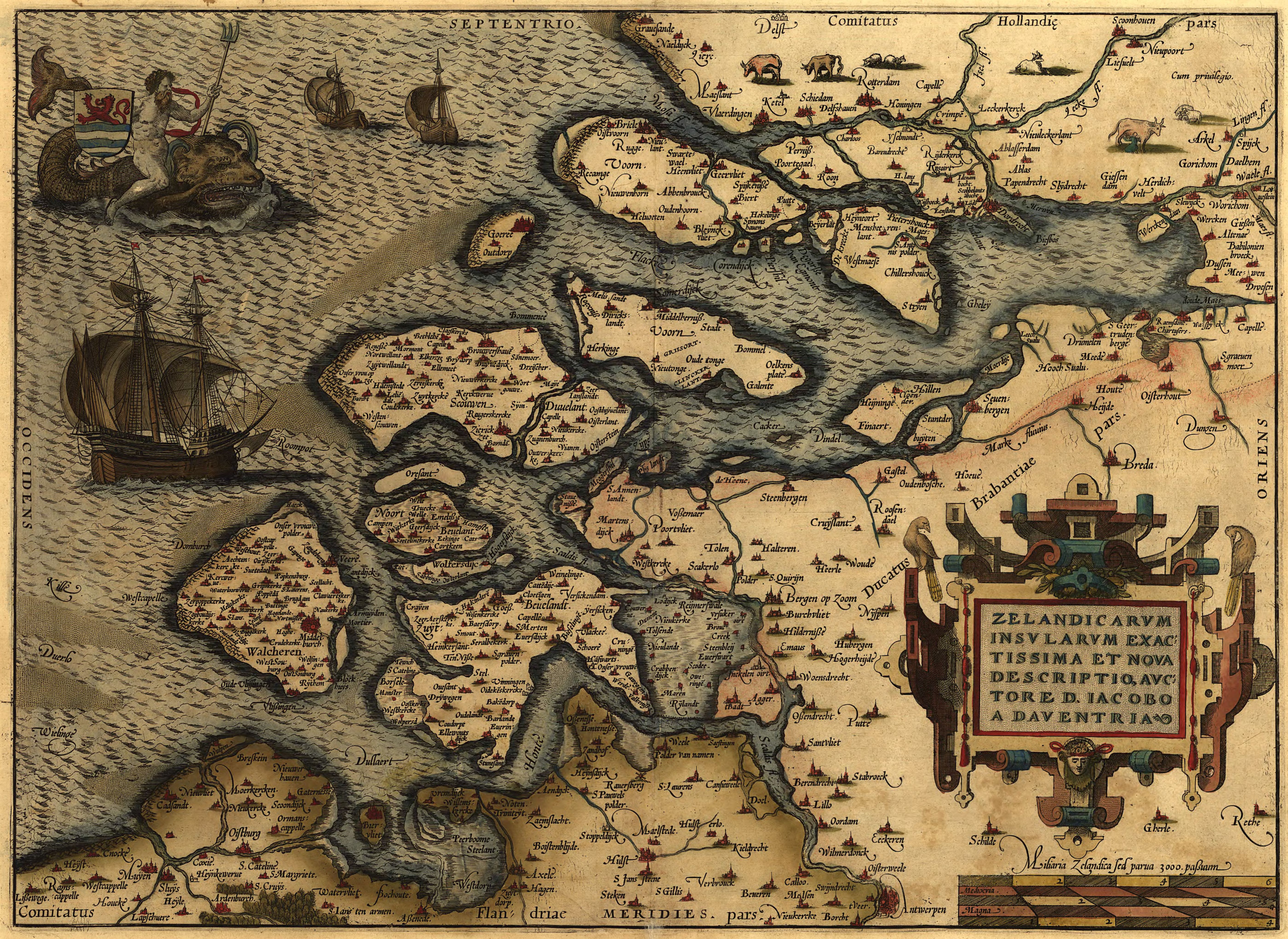
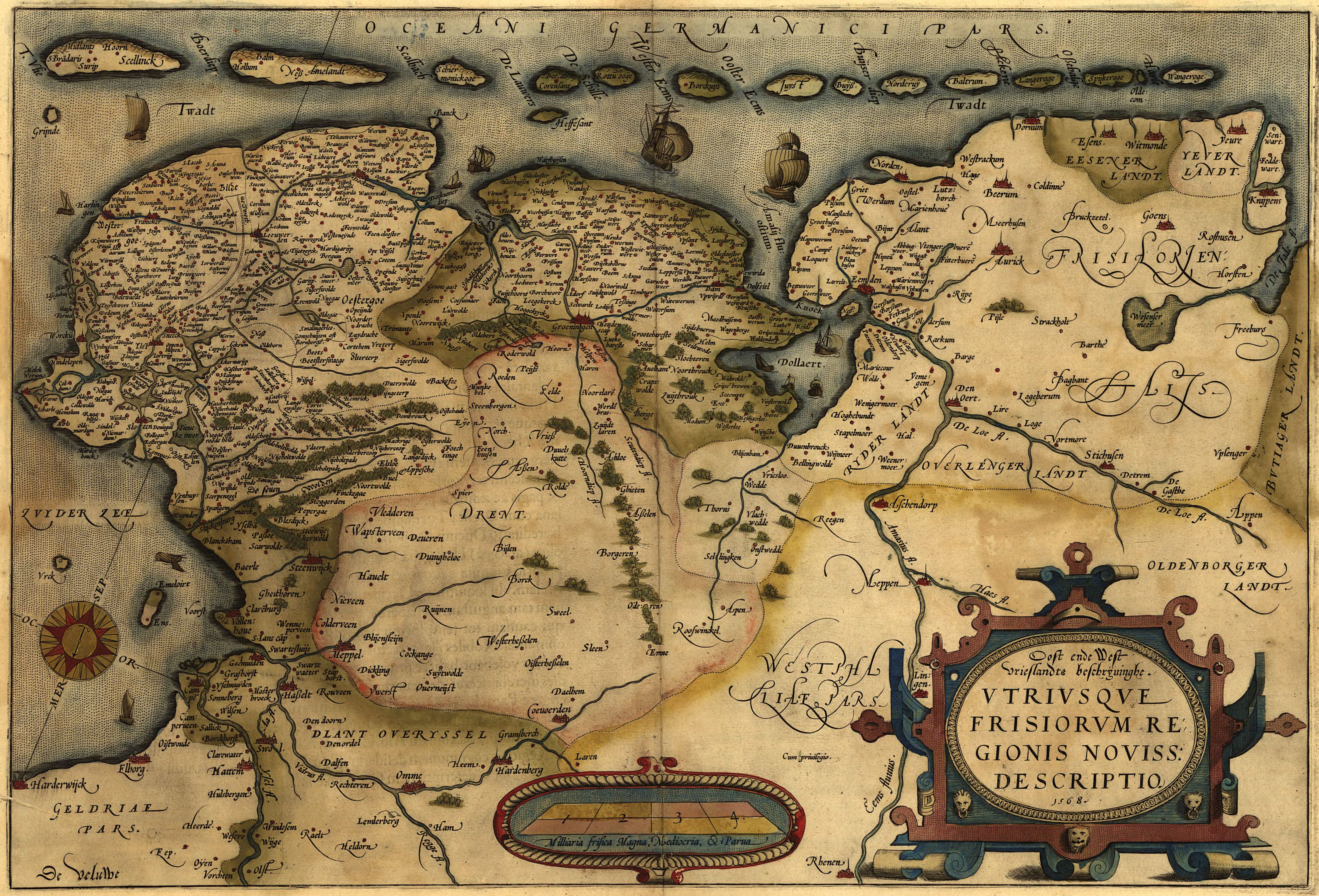
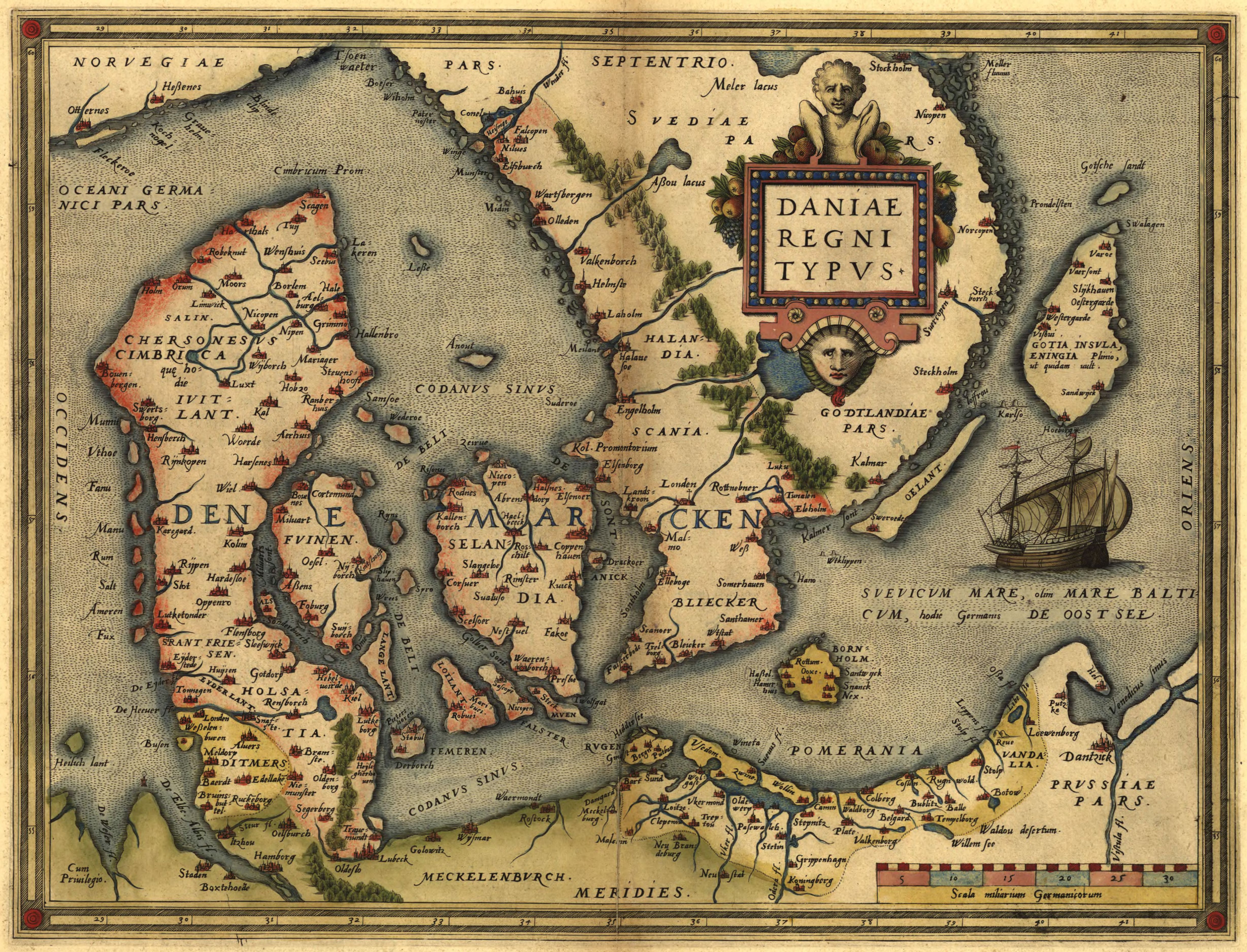
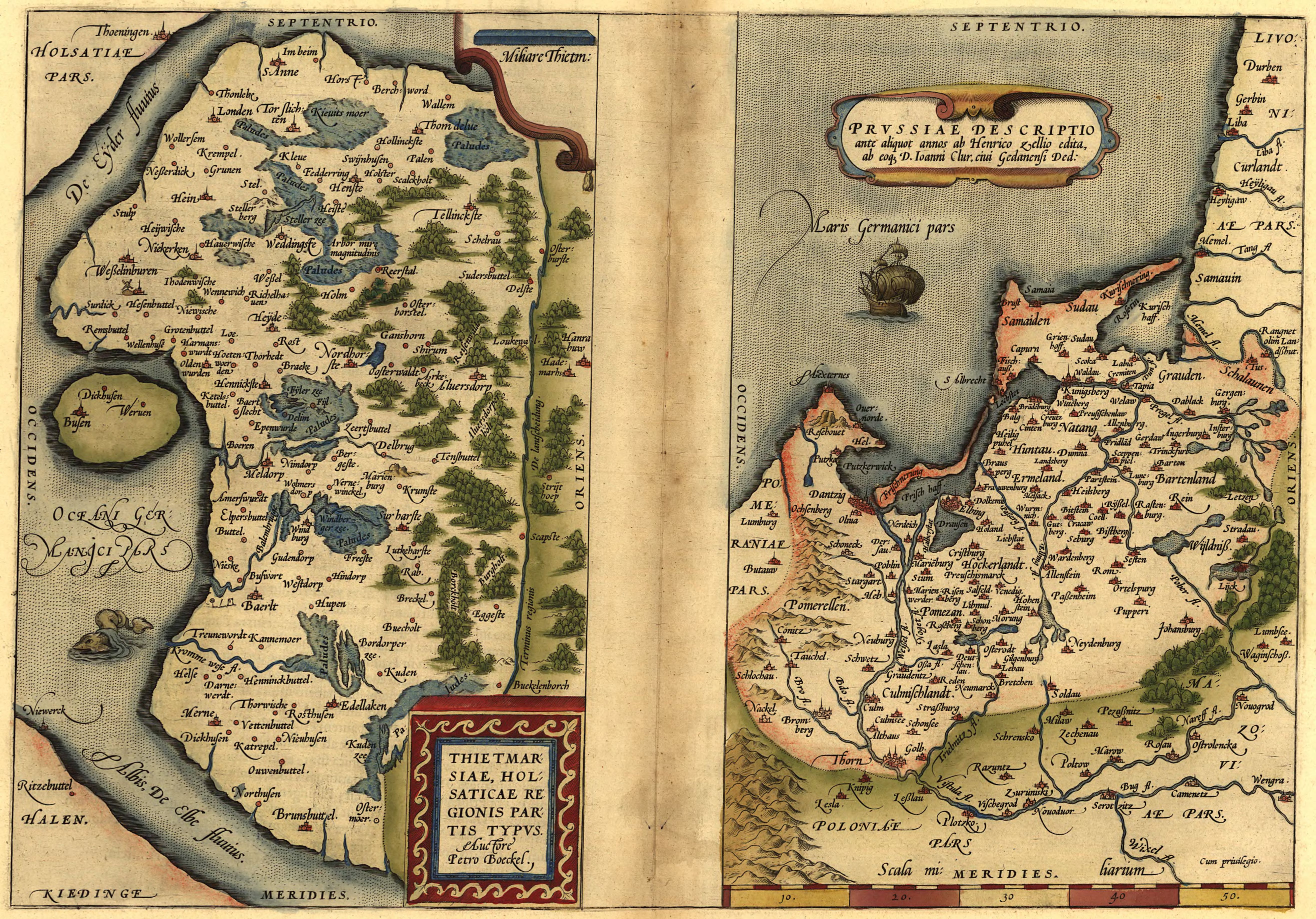
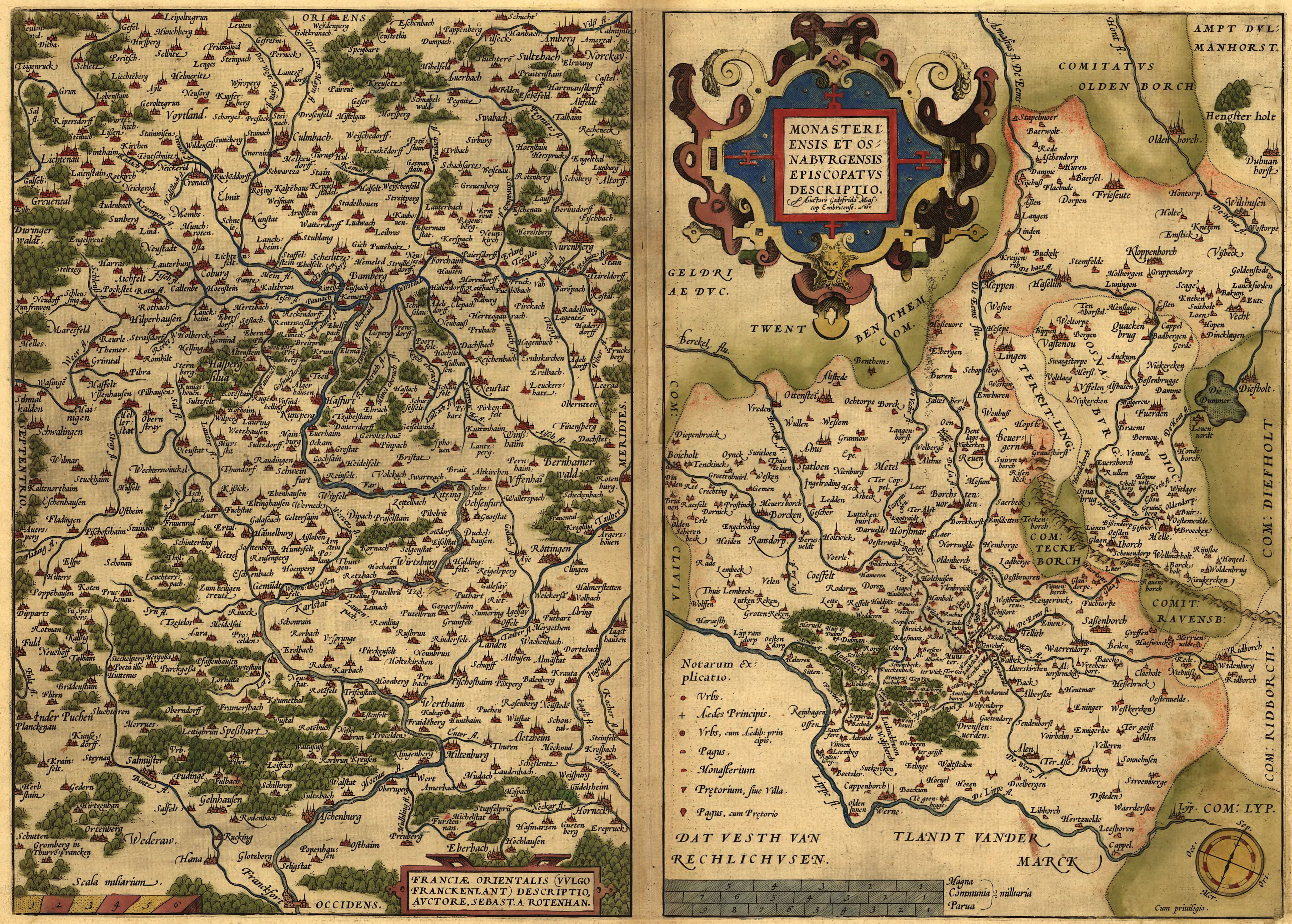
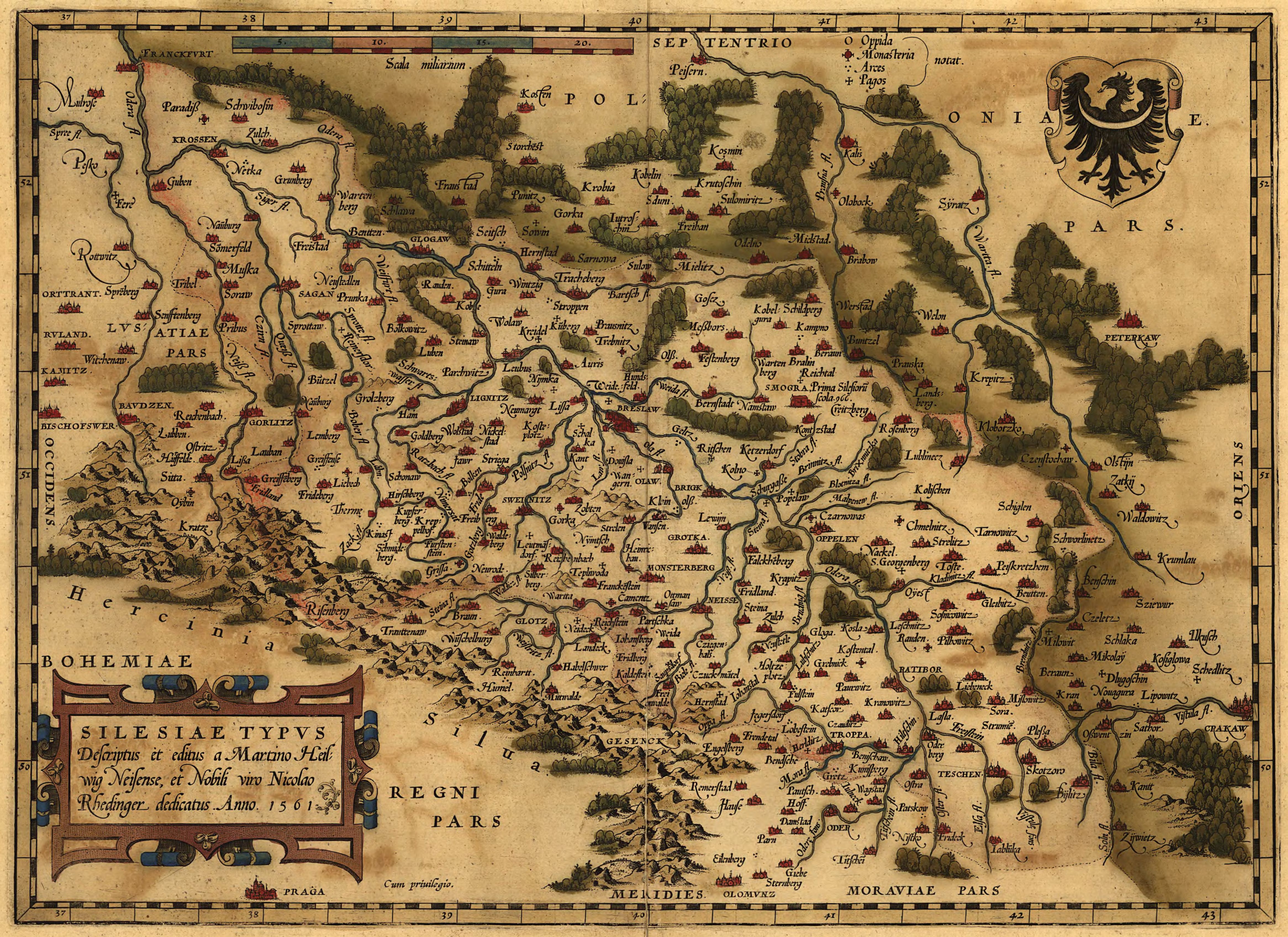
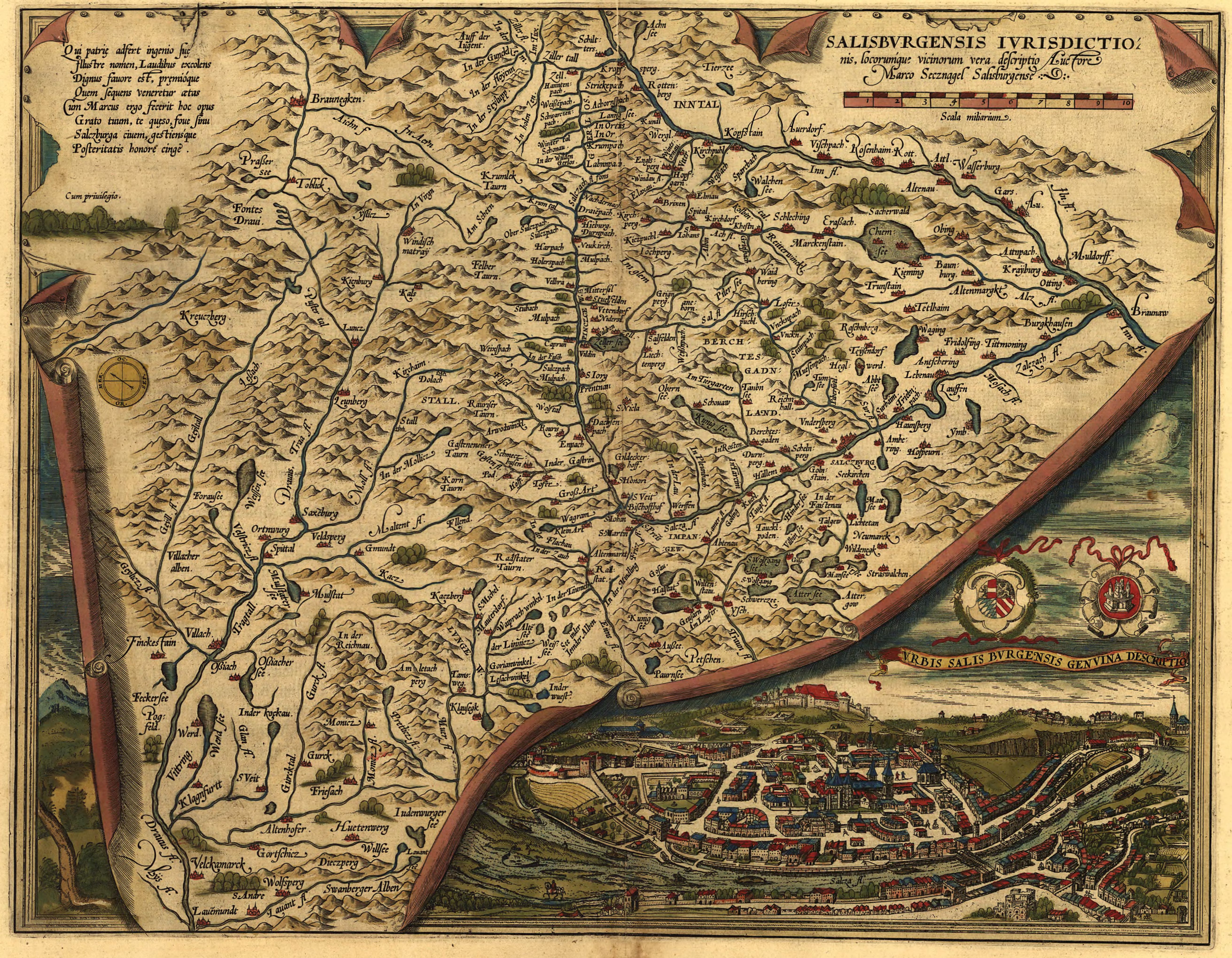
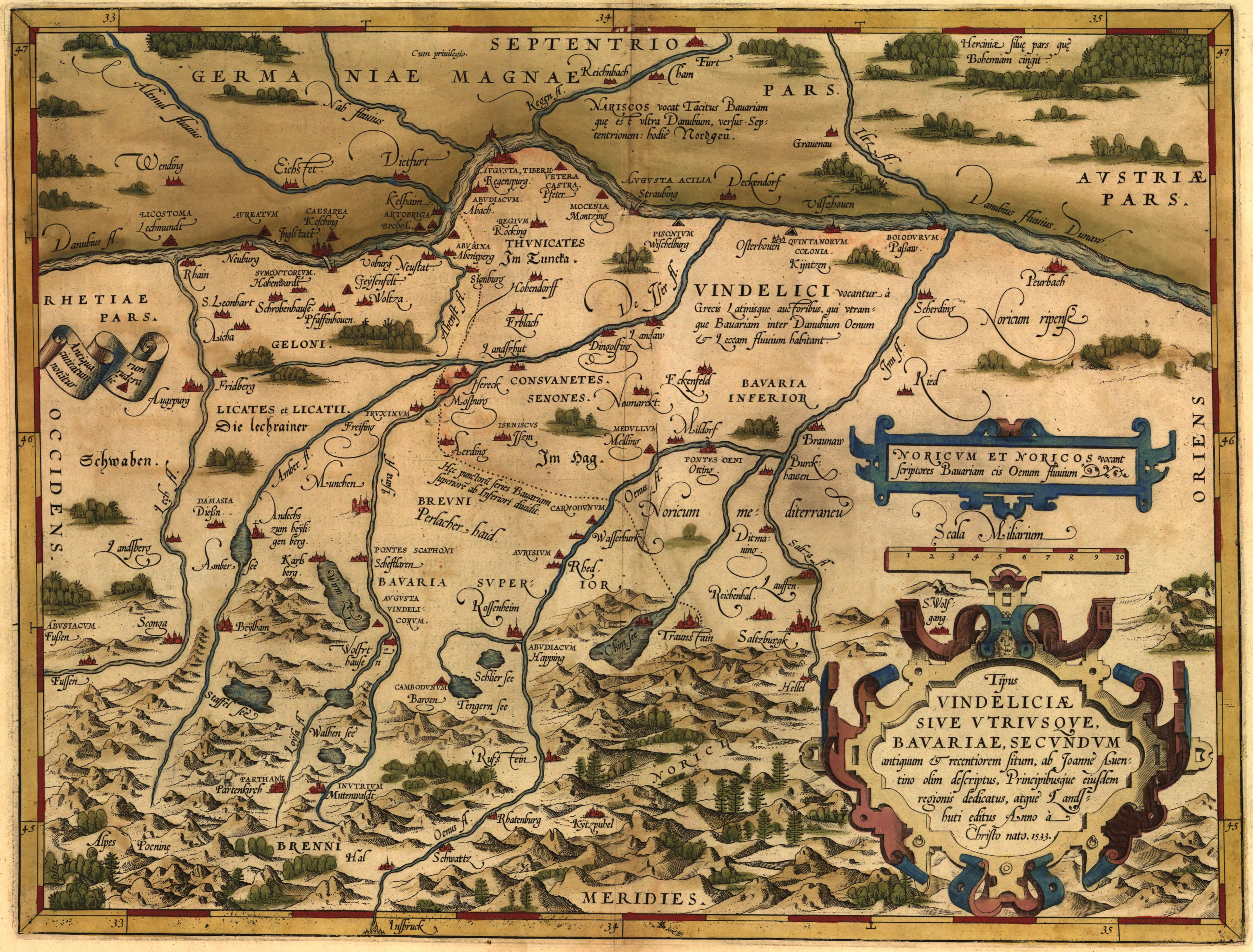
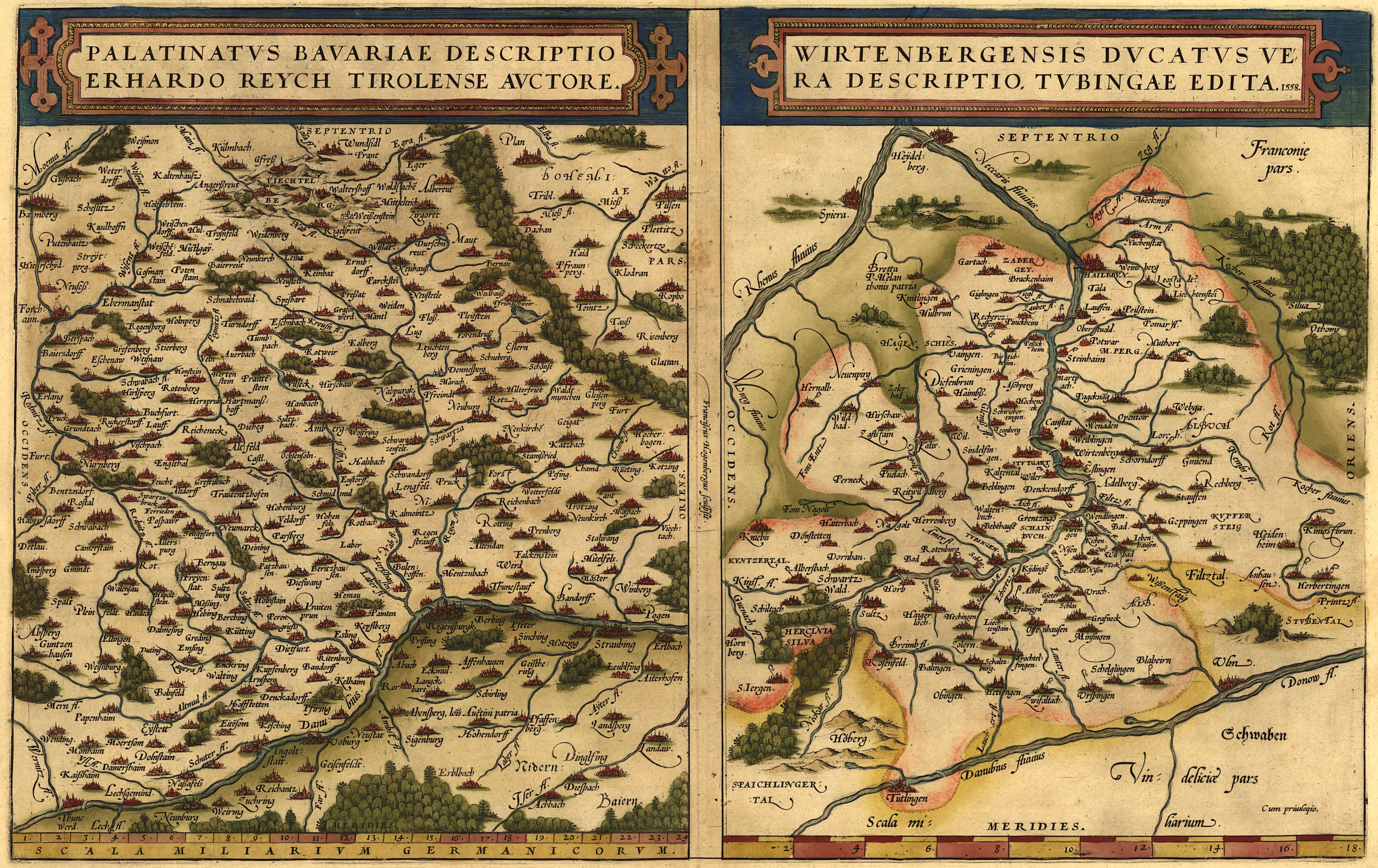
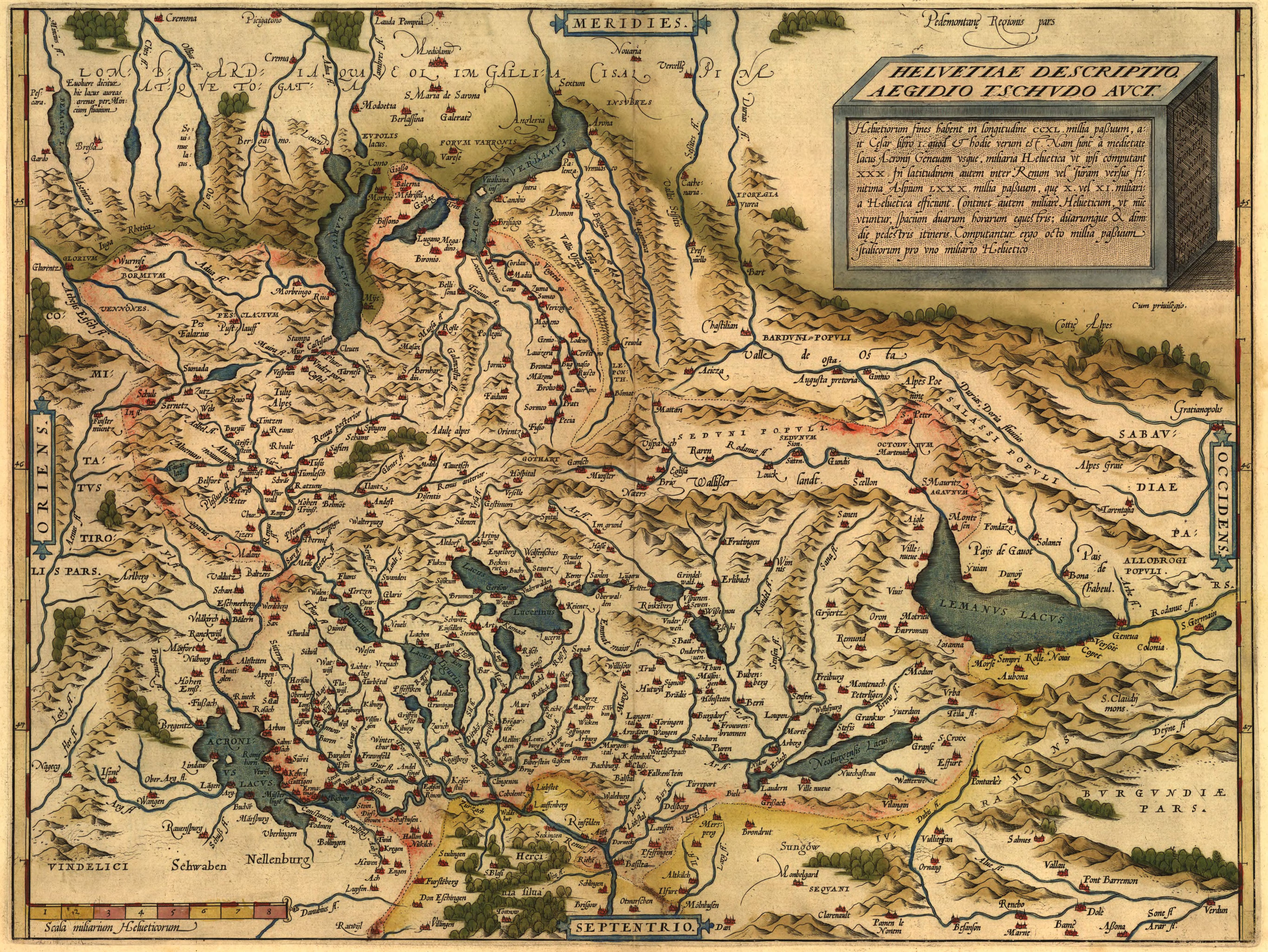
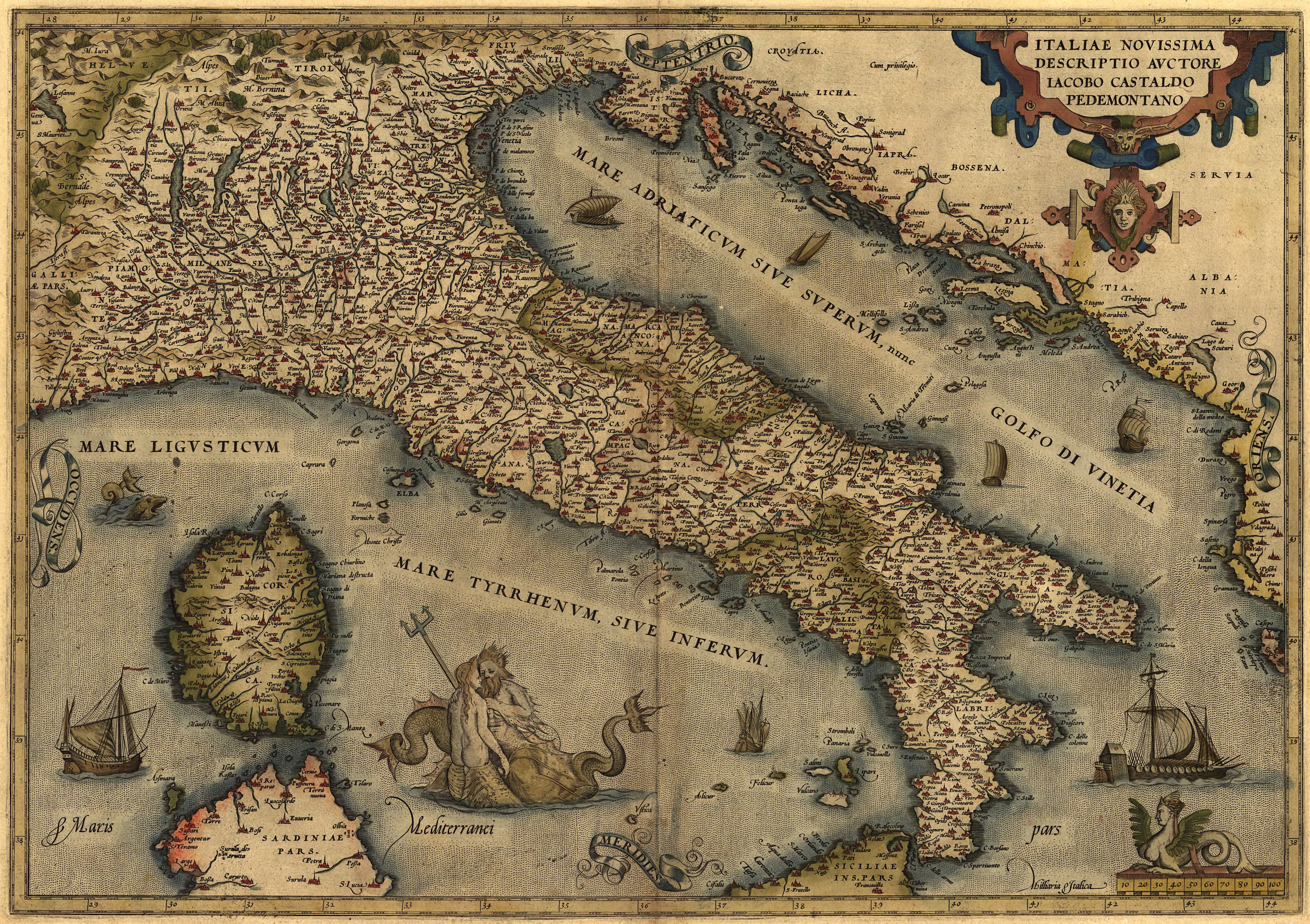
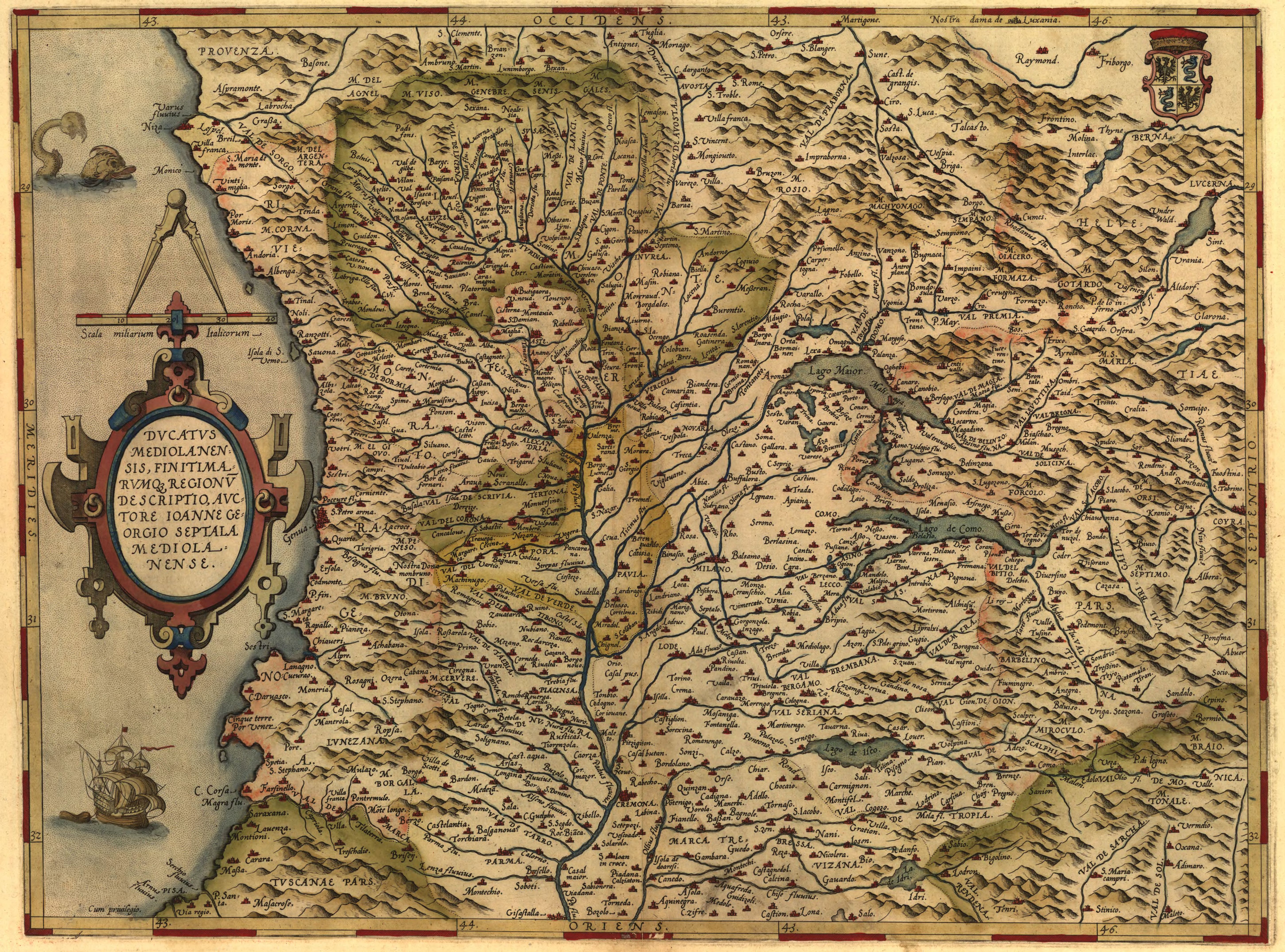
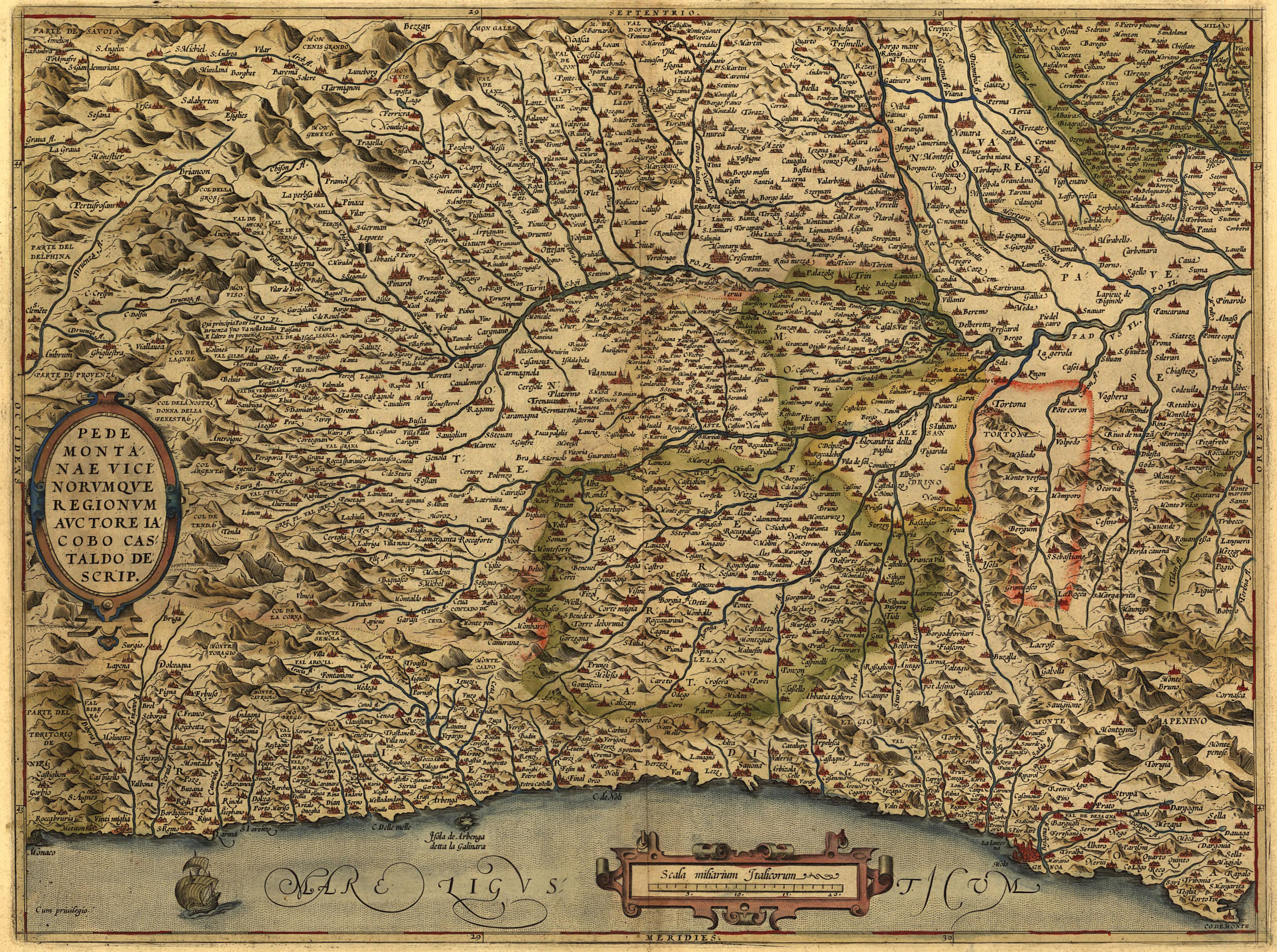
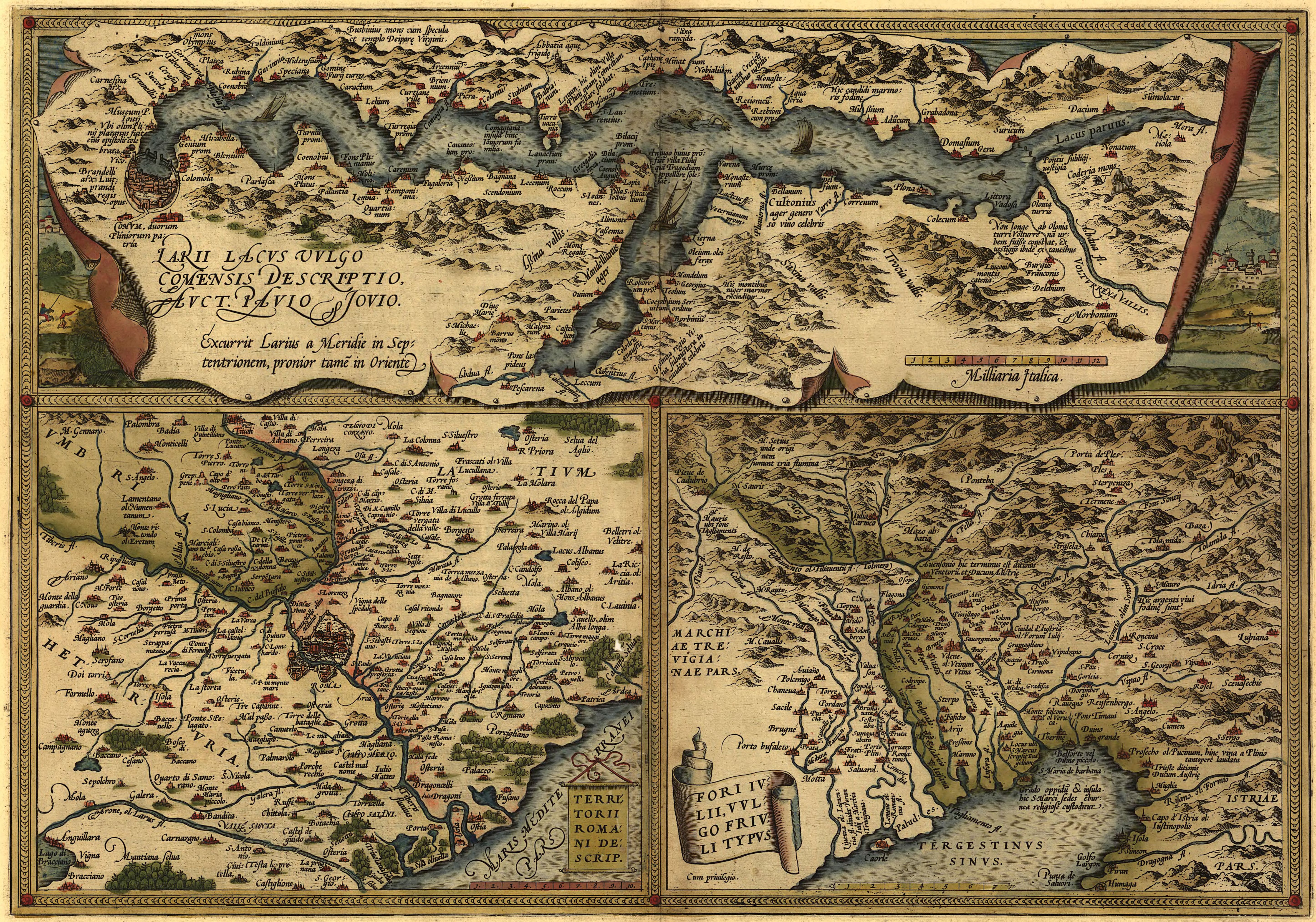
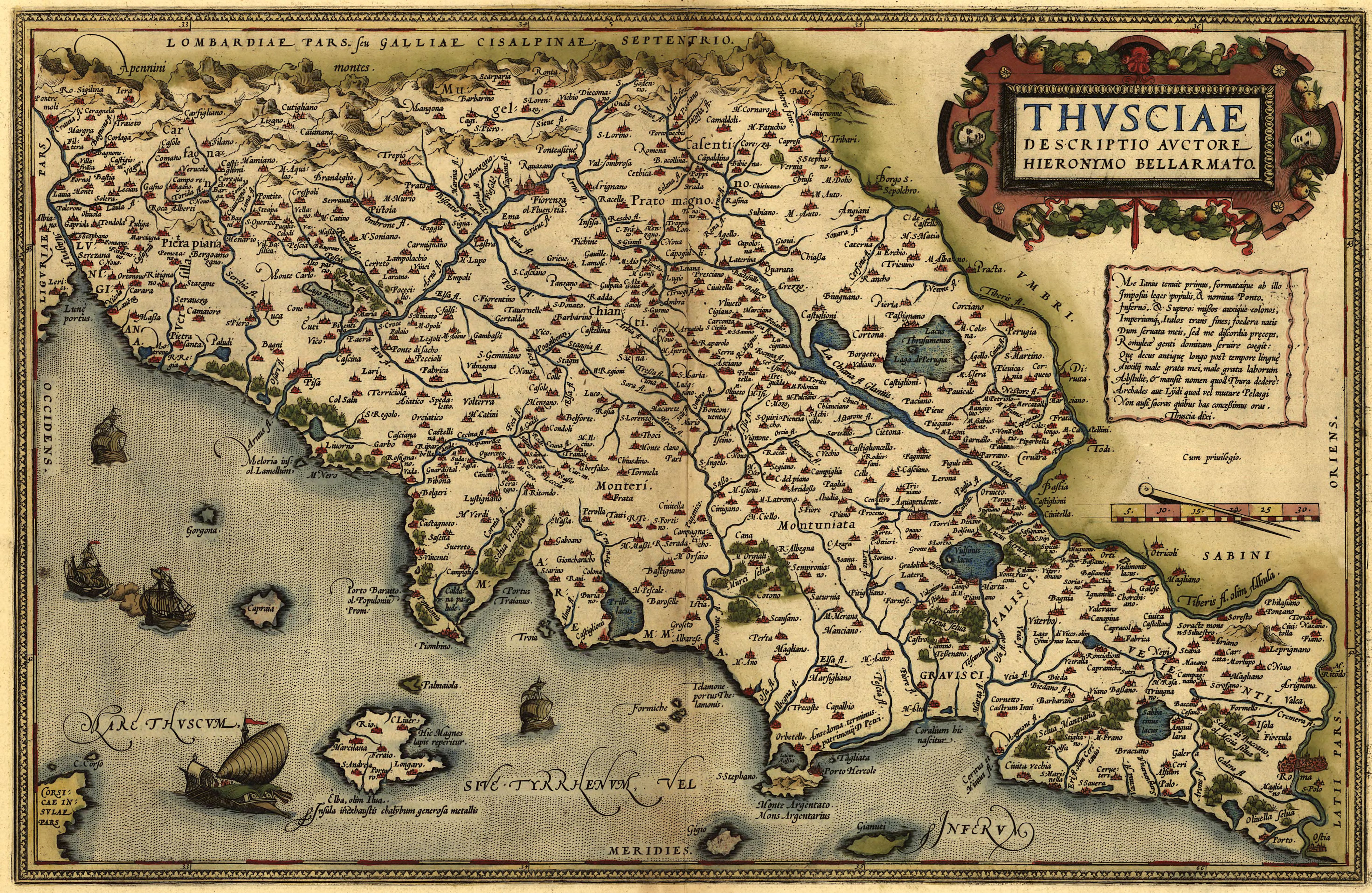
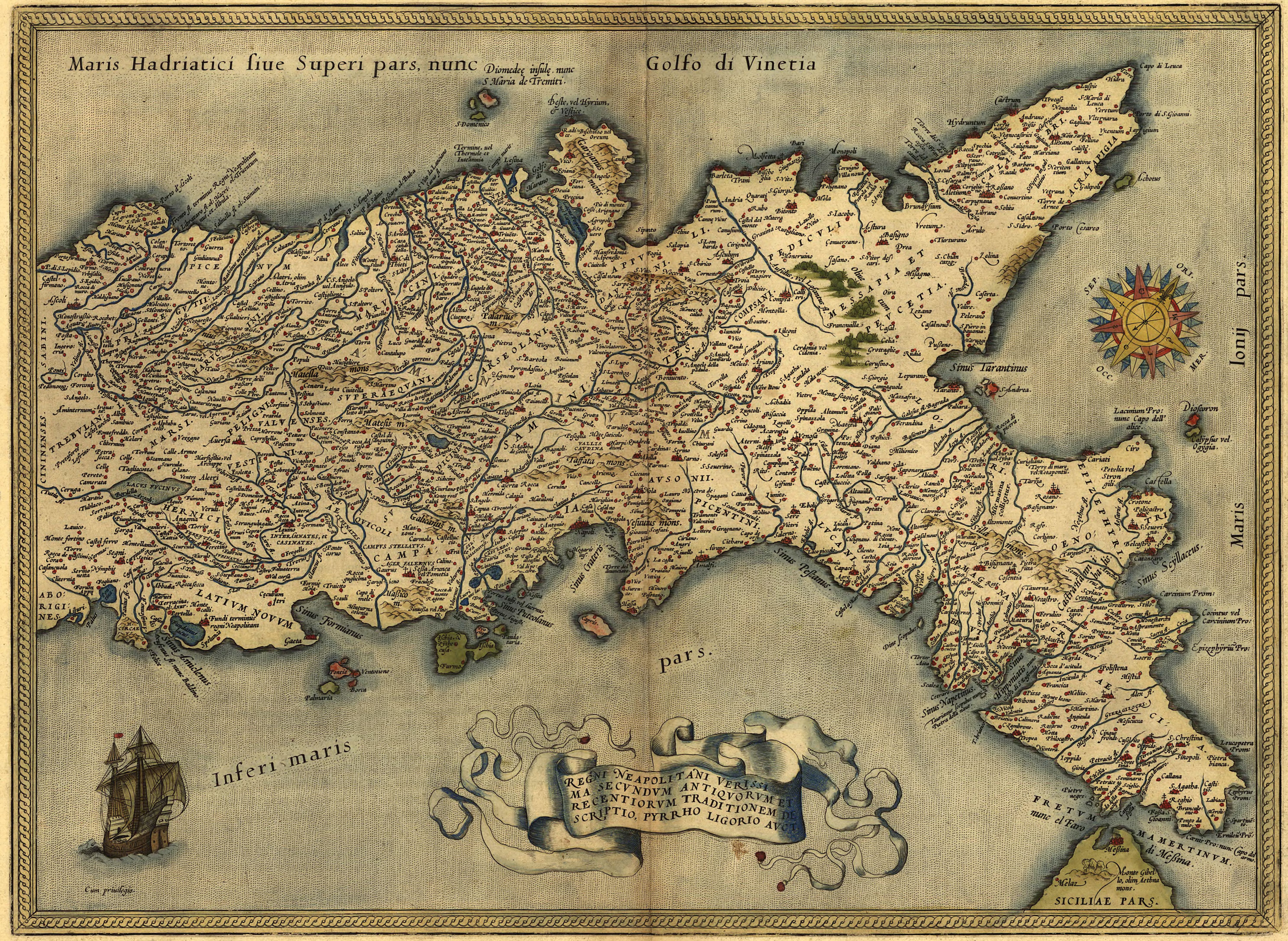
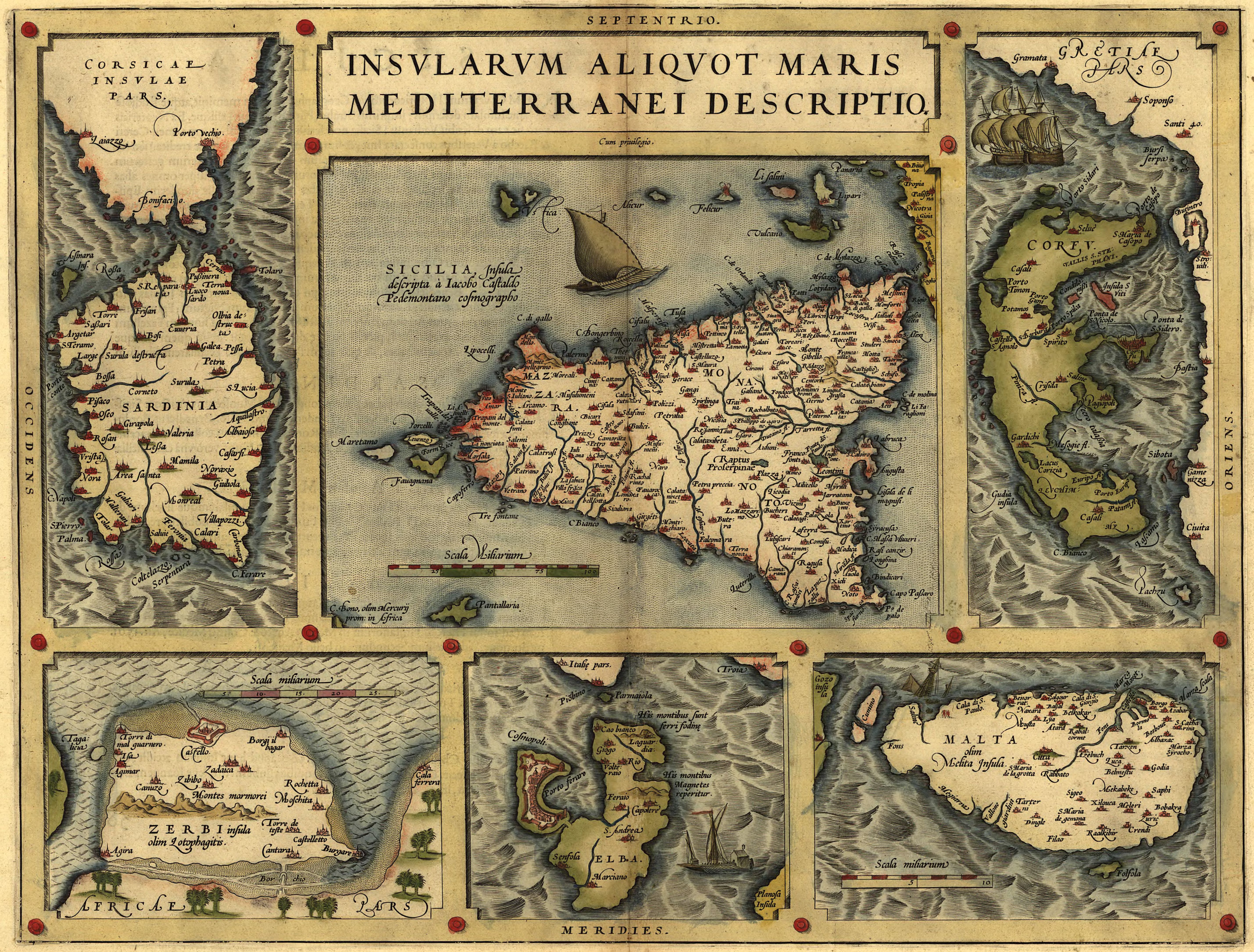
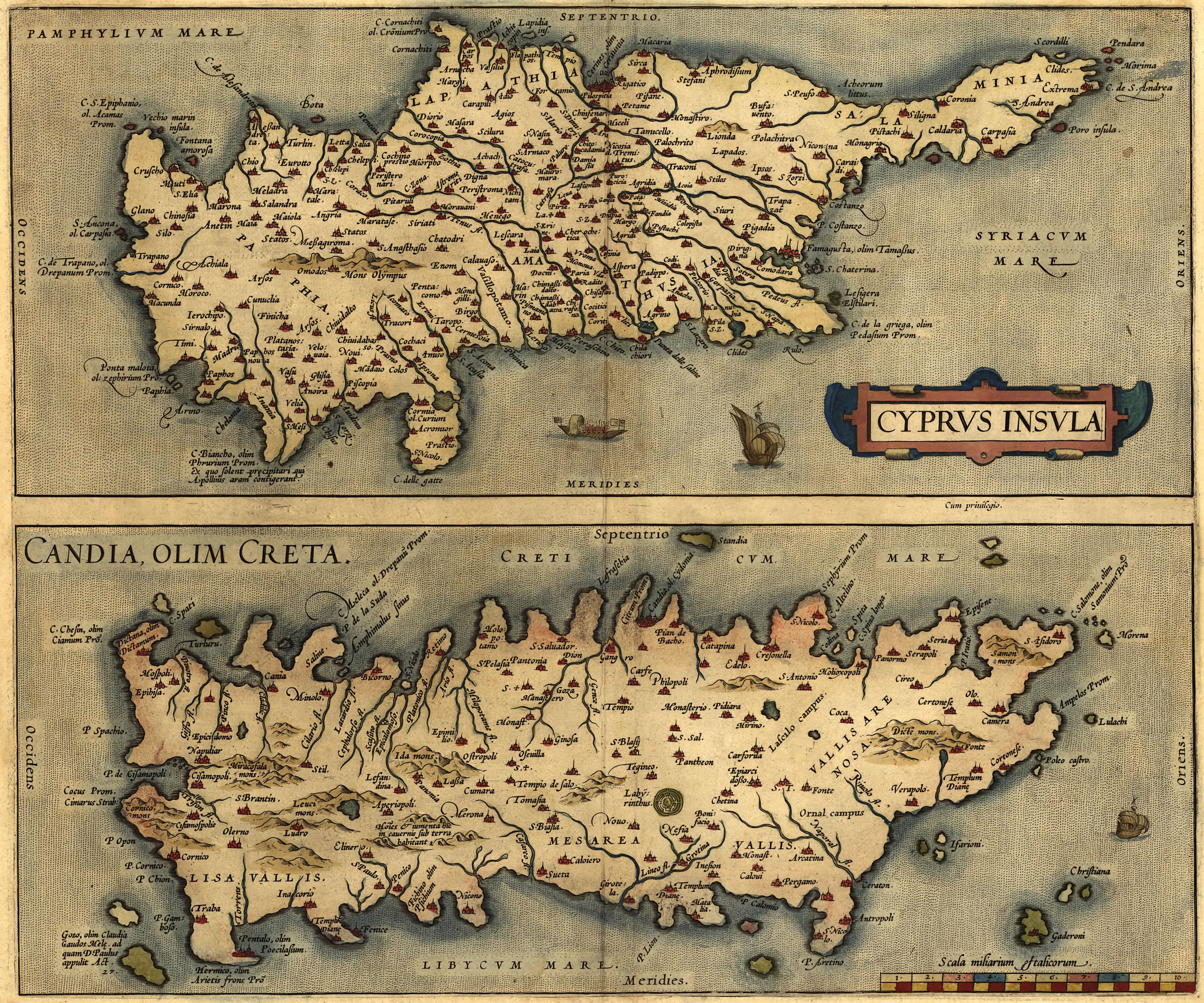
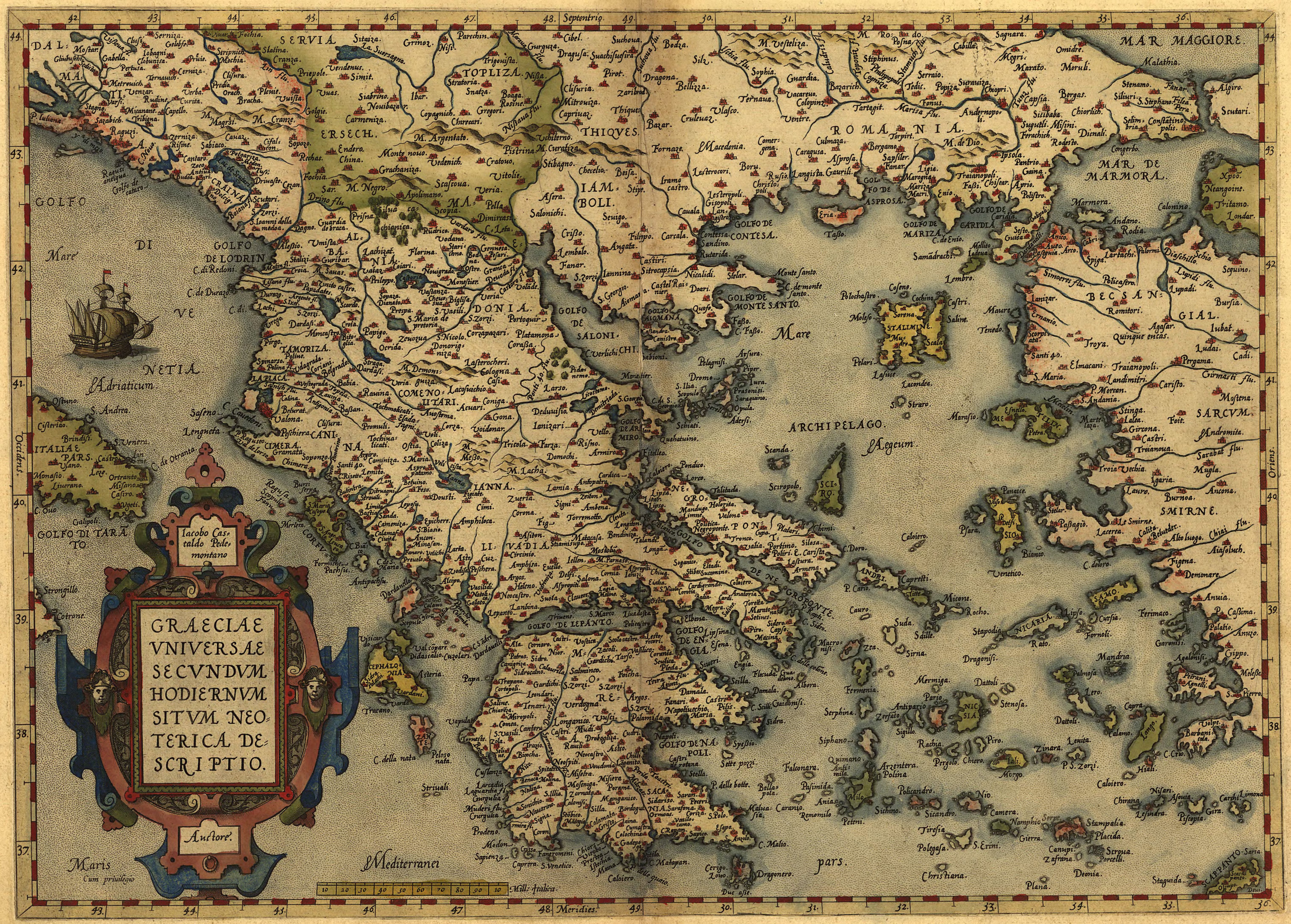
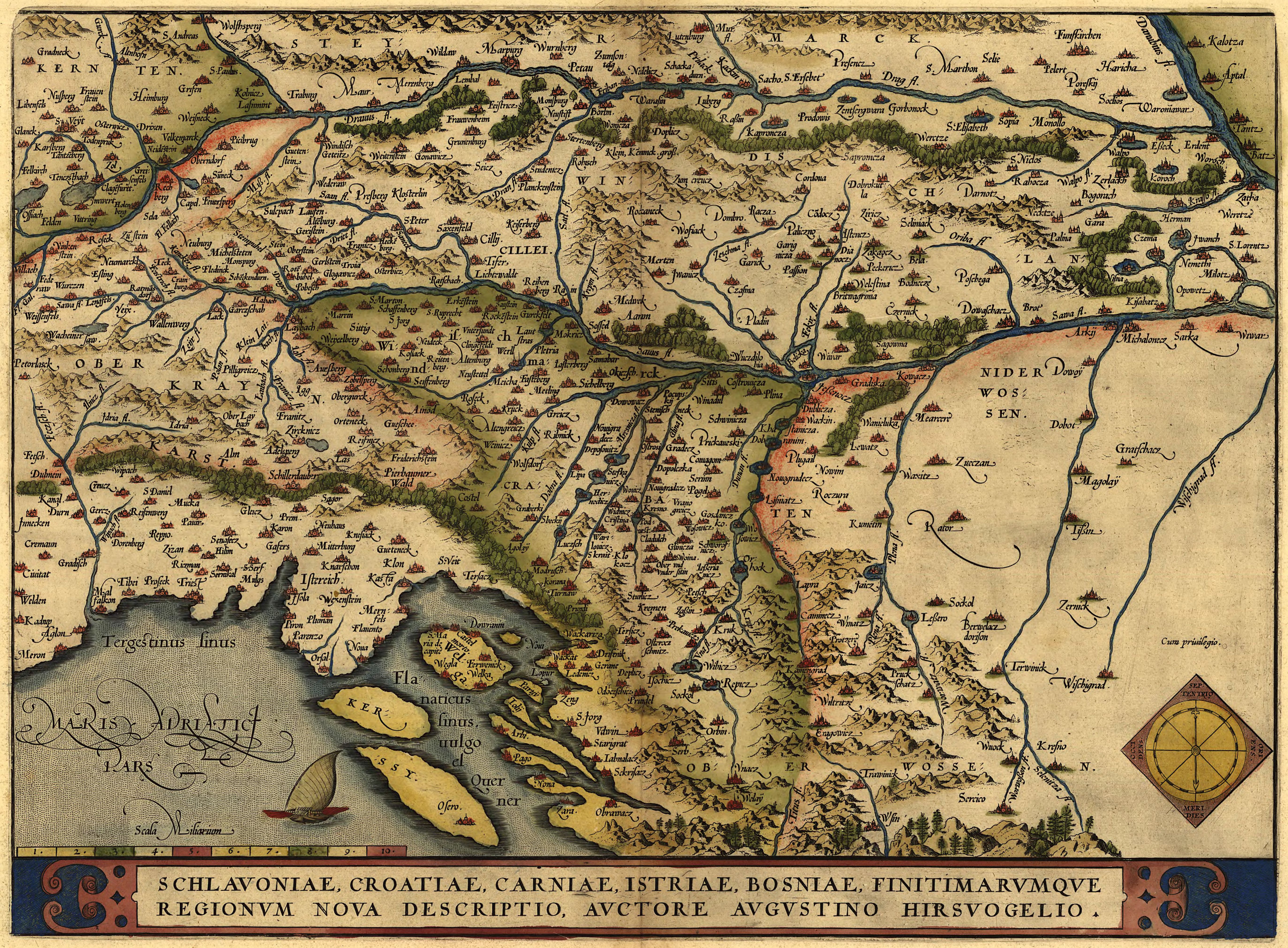
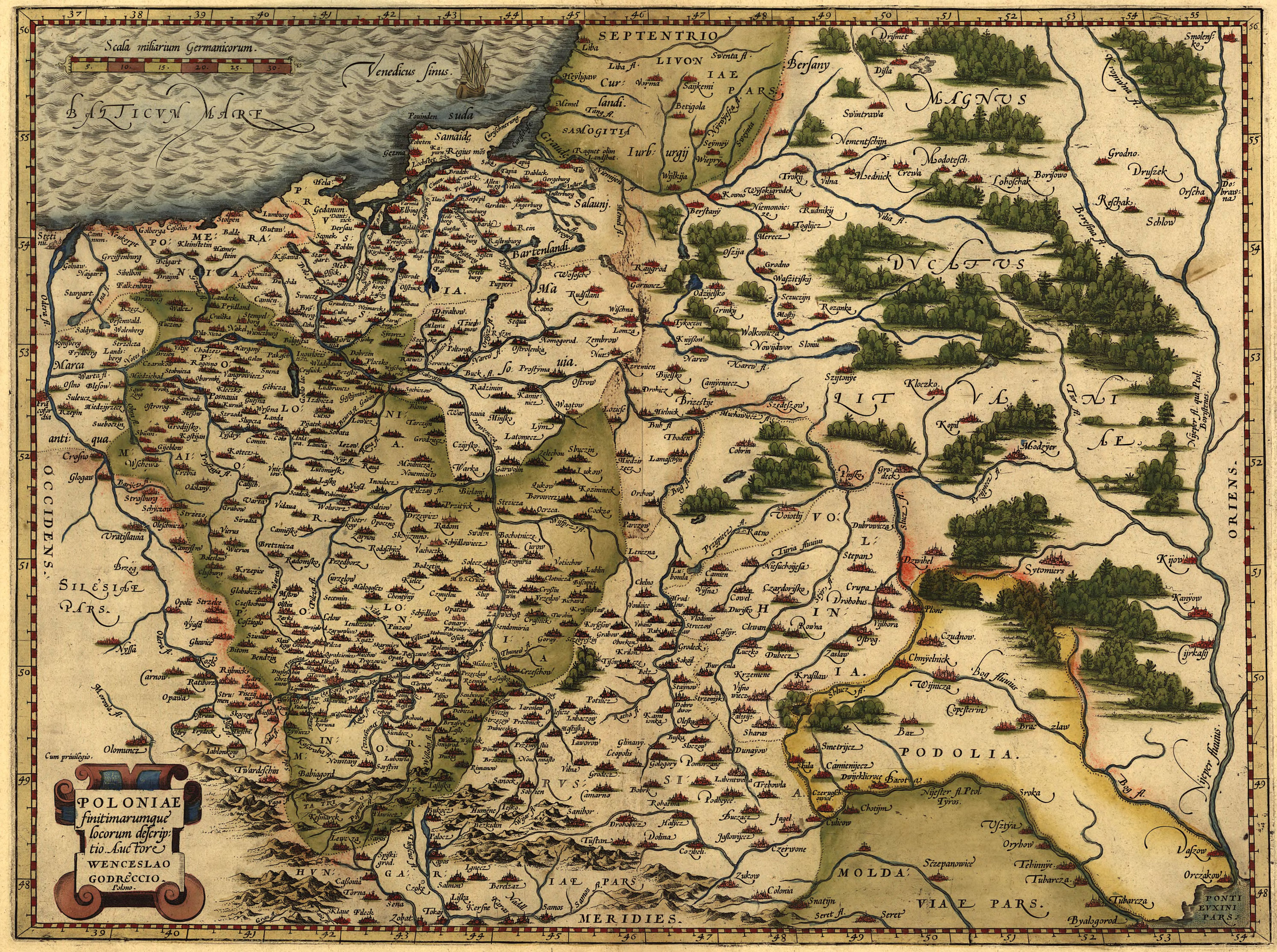
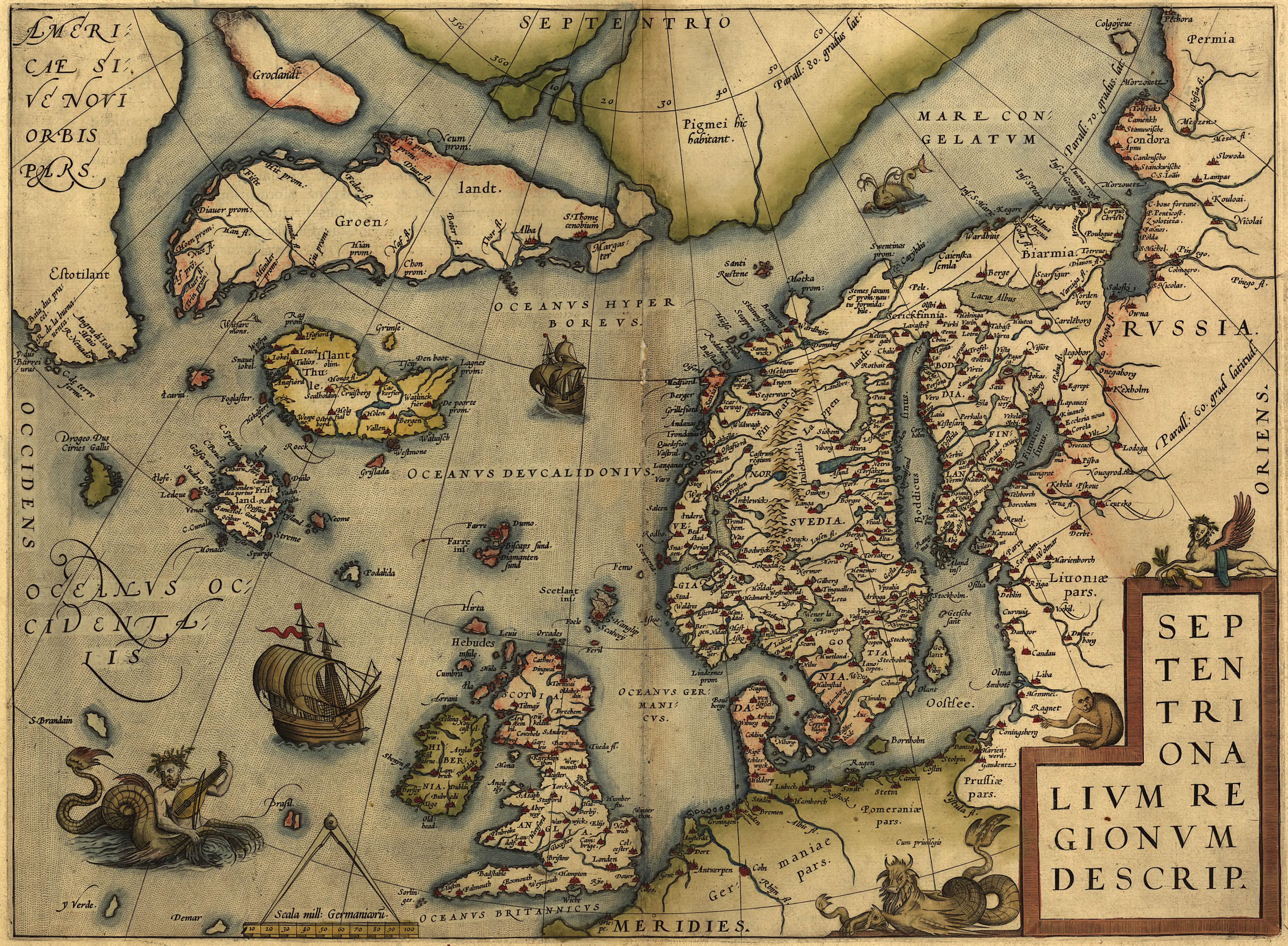
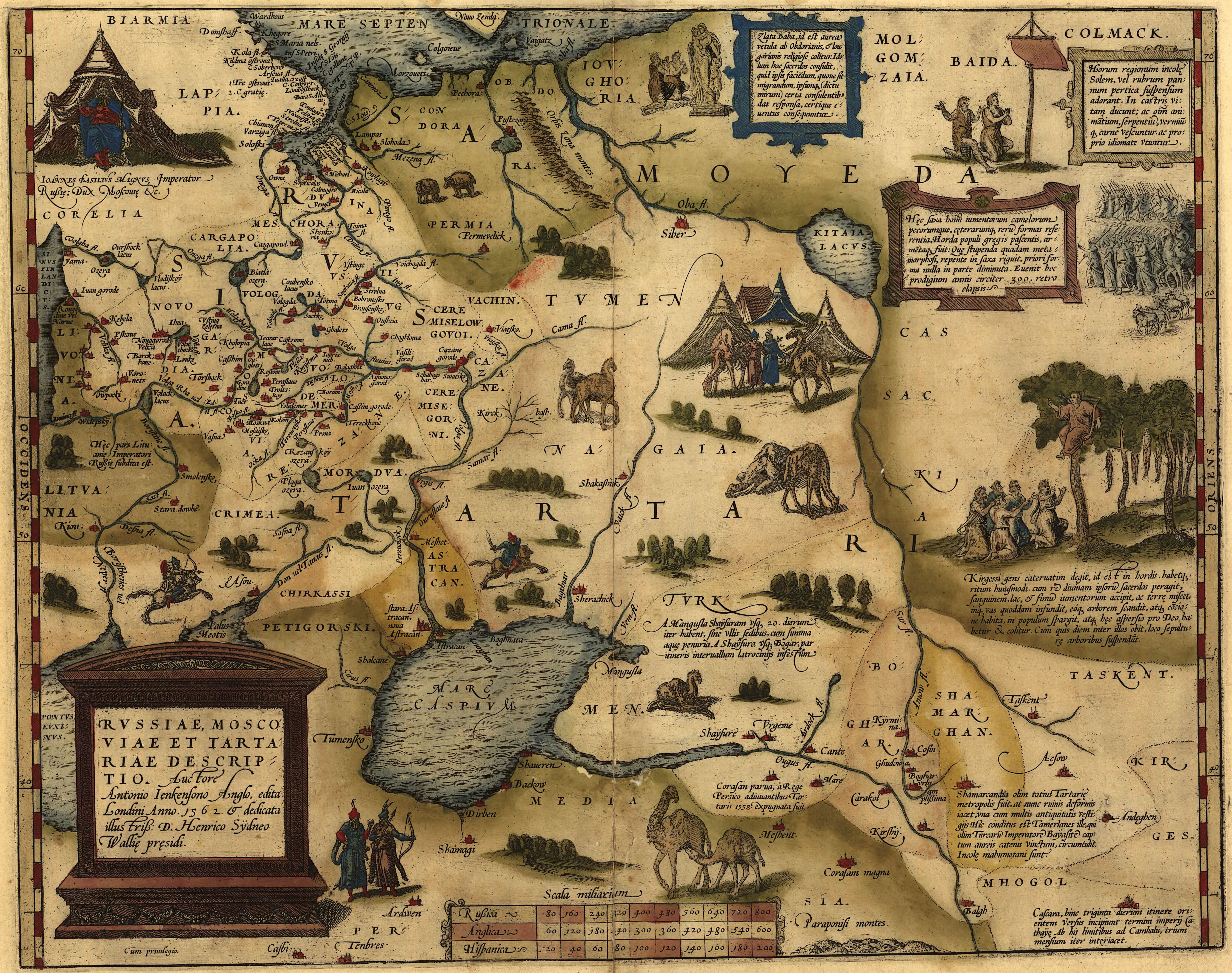
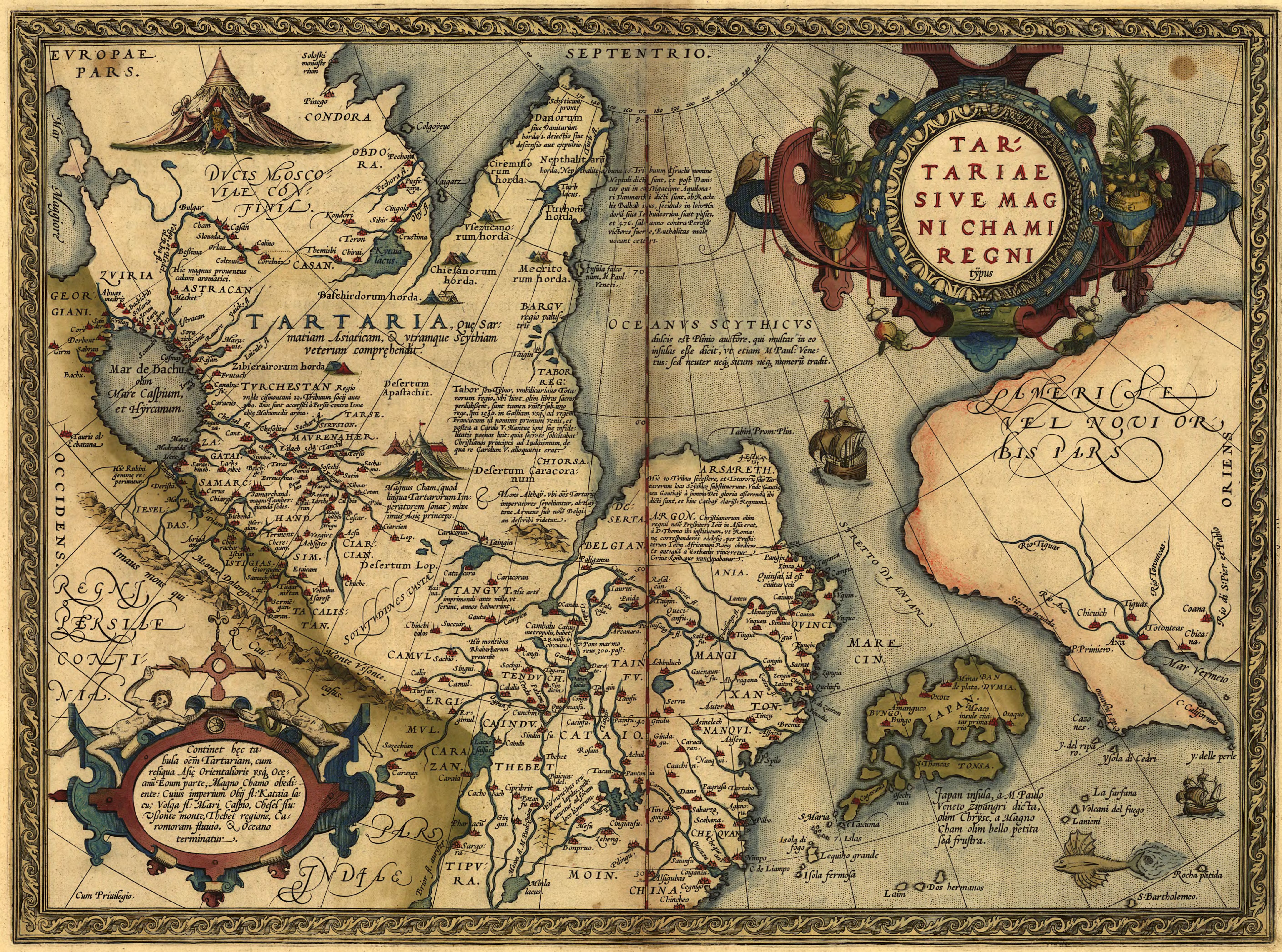
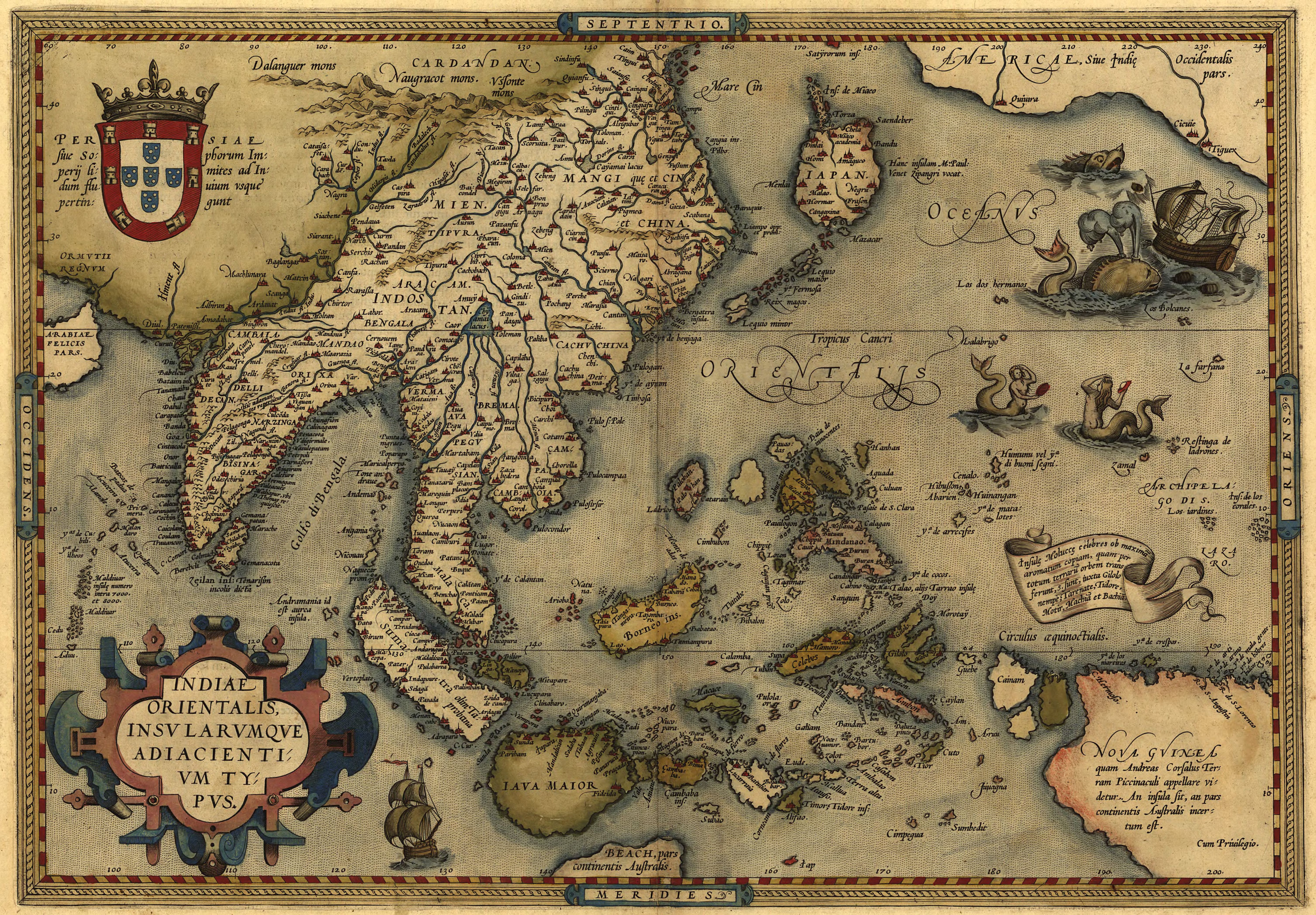
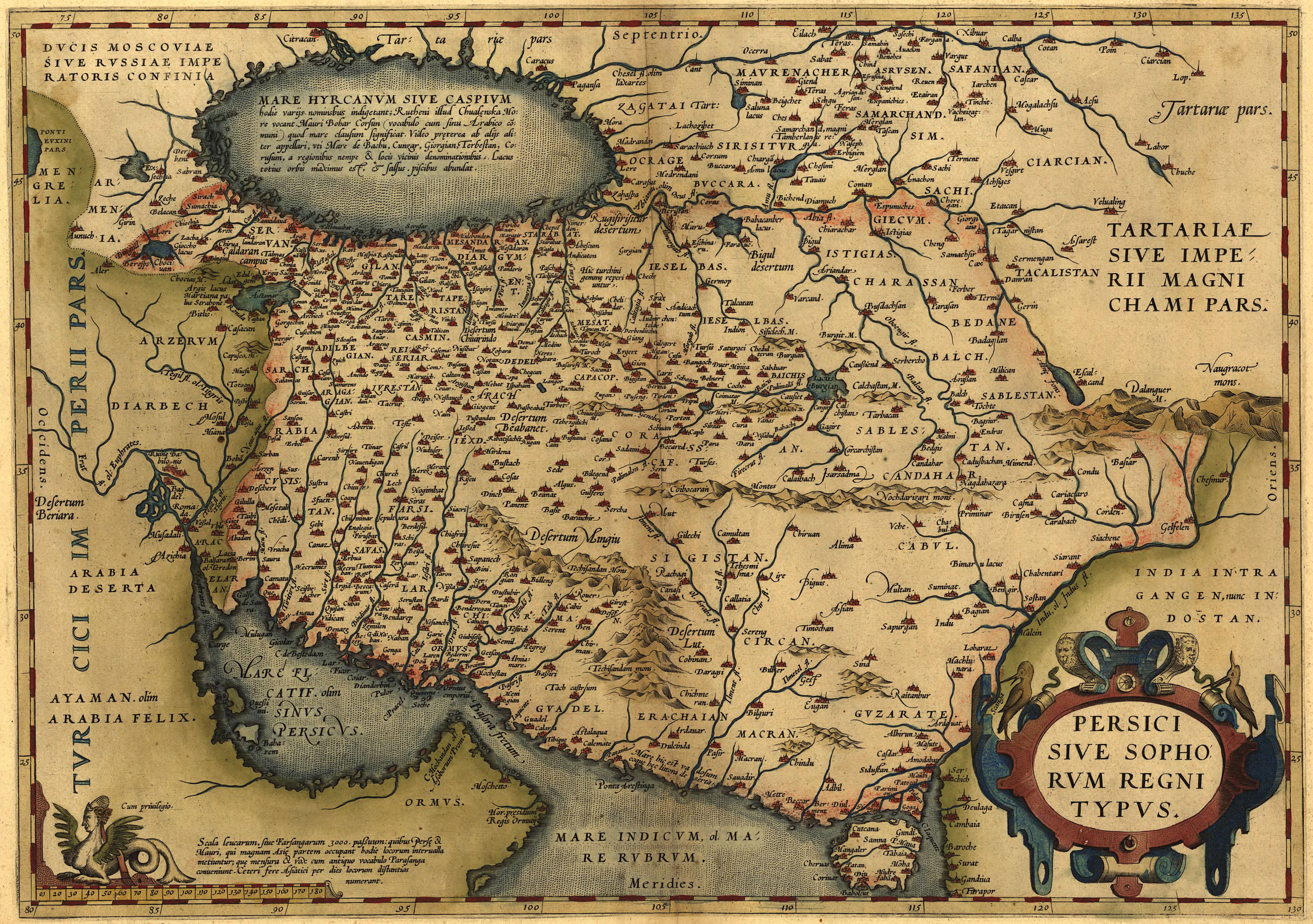
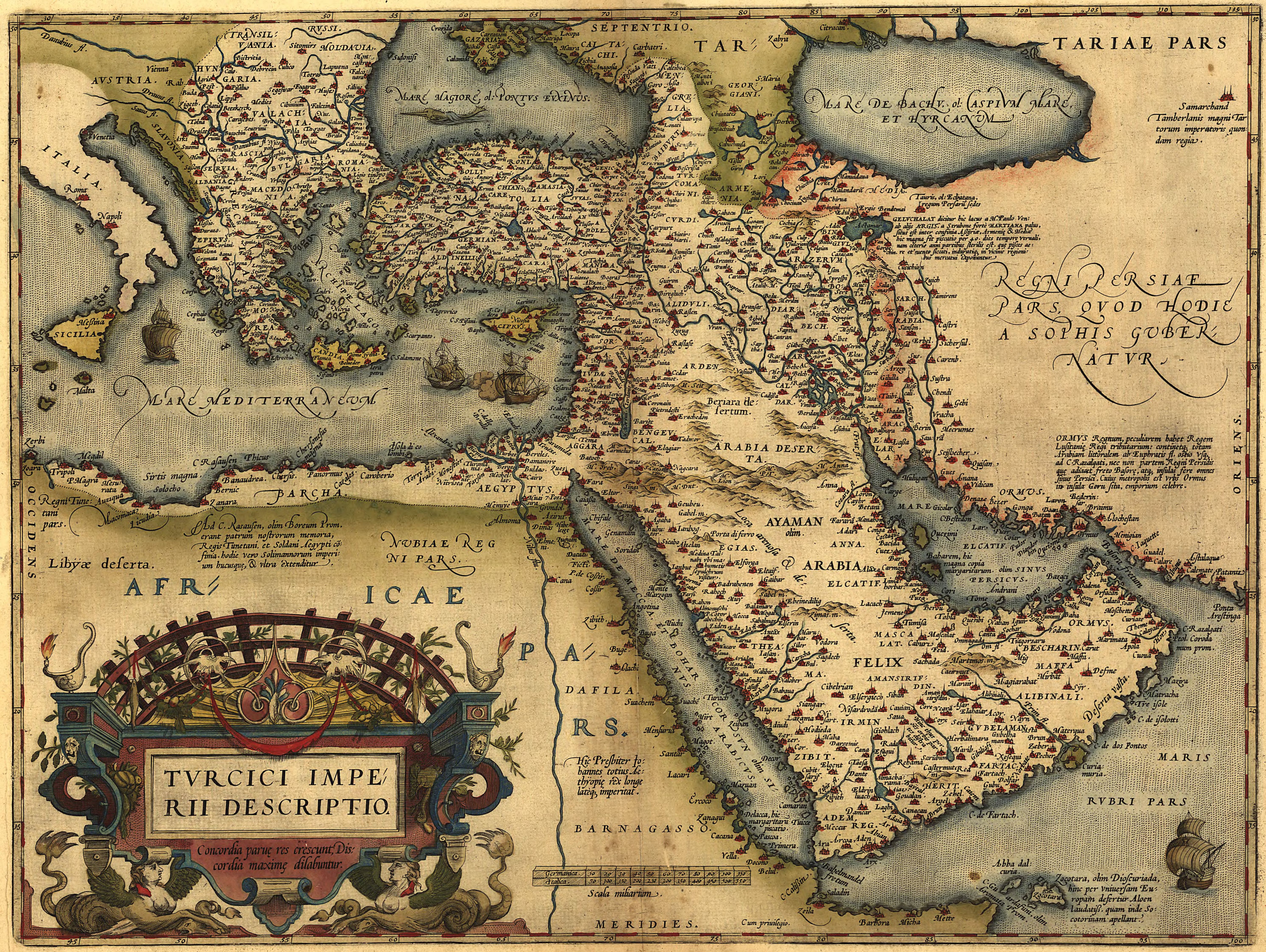
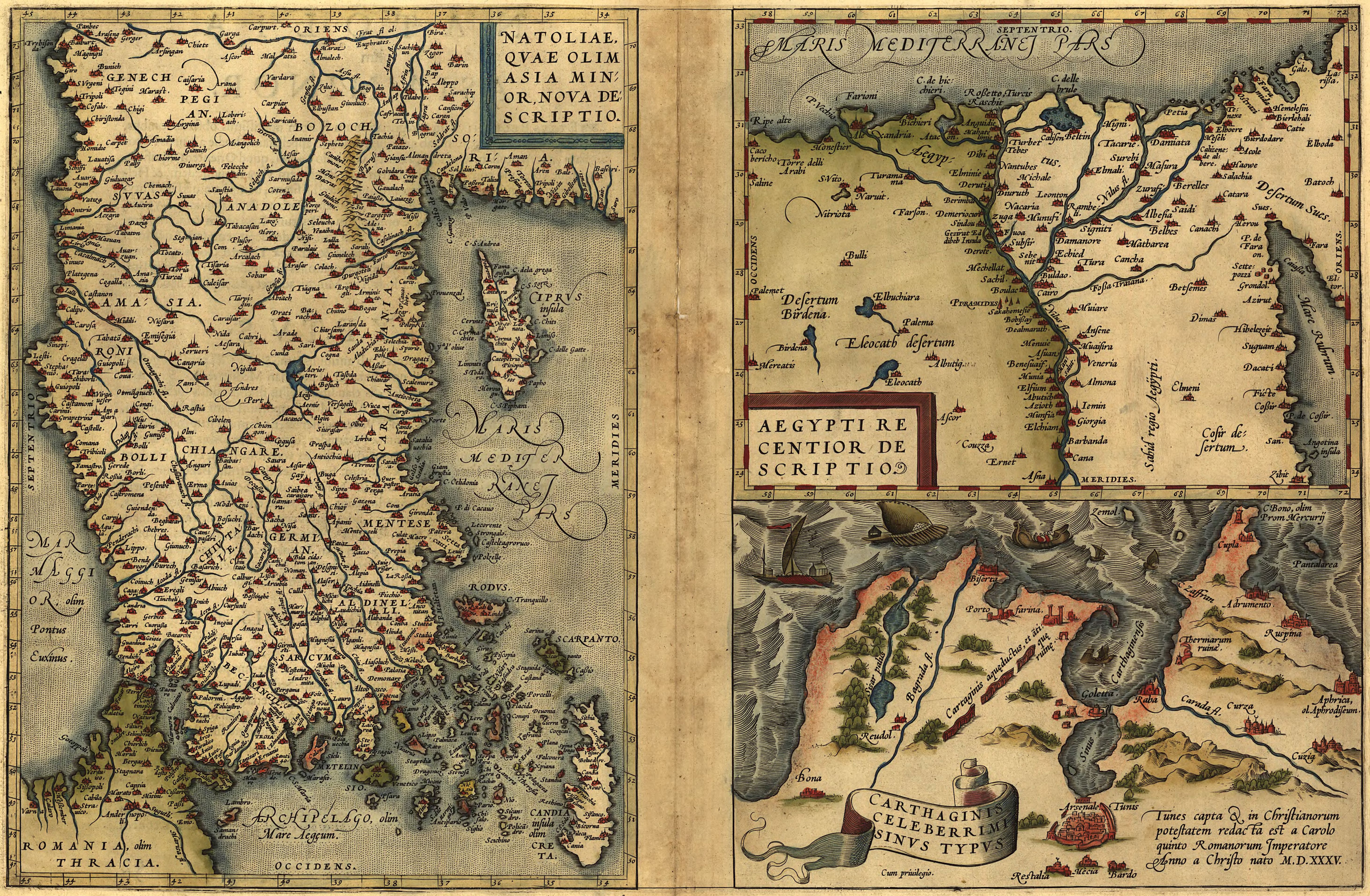
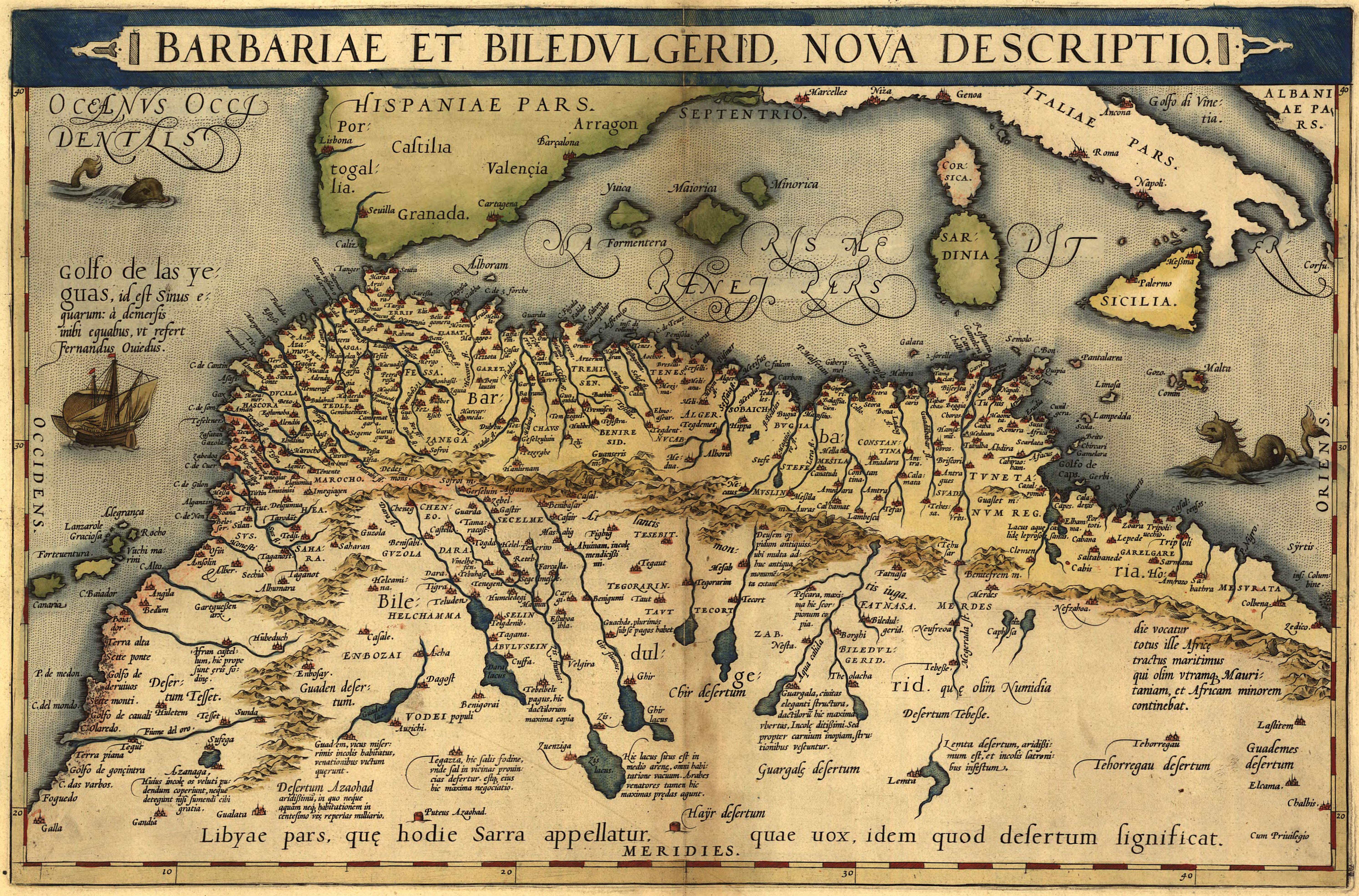
Atlas of Ortelius 1570
Theatrum Orbis Terrarum - a monument of European cartography of the XVI century, prepared by Ortelius and published in 1570 in Antwerp. It was the first geographical Atlas of the modern type in history. The Atlas of Ortelius was reedited, in each of which the cartographer has been further refined. The first edition contained 70 maps and 87 references to the sources (many of which are now lost), and in the 31st edition of 1612 - has 167 cards with references to 183 books. From the maps of Ortelia, the most famous was a detailed image of the Pacific ocean. In addition to the Latin edition, until the end of 1572 there were translations of the Atlas into German, French and Dutch.
In 1645 year under the same title and by the same standards he published his atlases of the Dutch firm of Blau.
The Atlas was named Big Atlas, or Cosmography Blau (FR. Le Grand Atlas, ou Cosmographie Blaviane, en laquelle est extraction descritte la terre, la mer, et le ciel). The Atlas is a reproduction of a painting studied at the time in the world. Atlas is recognized as a masterpiece of Dutch cartography from the seventeenth century.
Table of contents of the Atlas of Ortelius in Latin in PDF format
Conclusion and the list of areas of the Ortelius Atlas in alphabetical order in PDF format |